Whitewater Walking Tours
A self-guided walking tour of sculptures and sights in Whitewater, Wisconsin, including some locations on the University of Wisconsin - Whitewater campus.
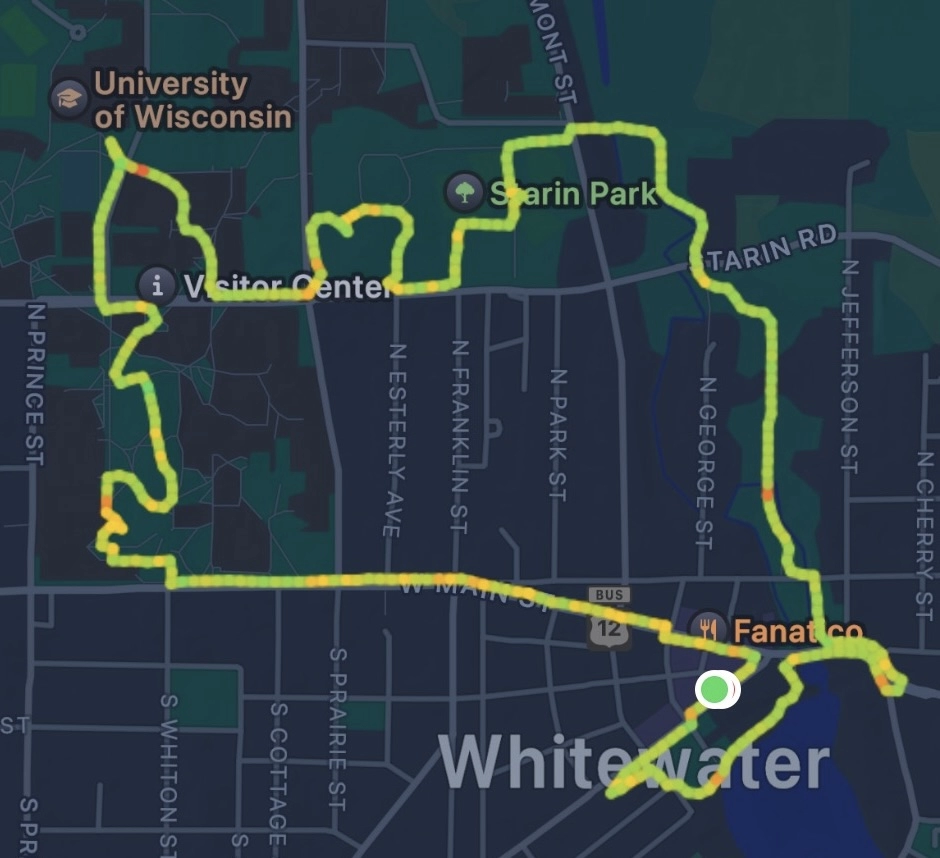
Walking Tour Map
Tour Route
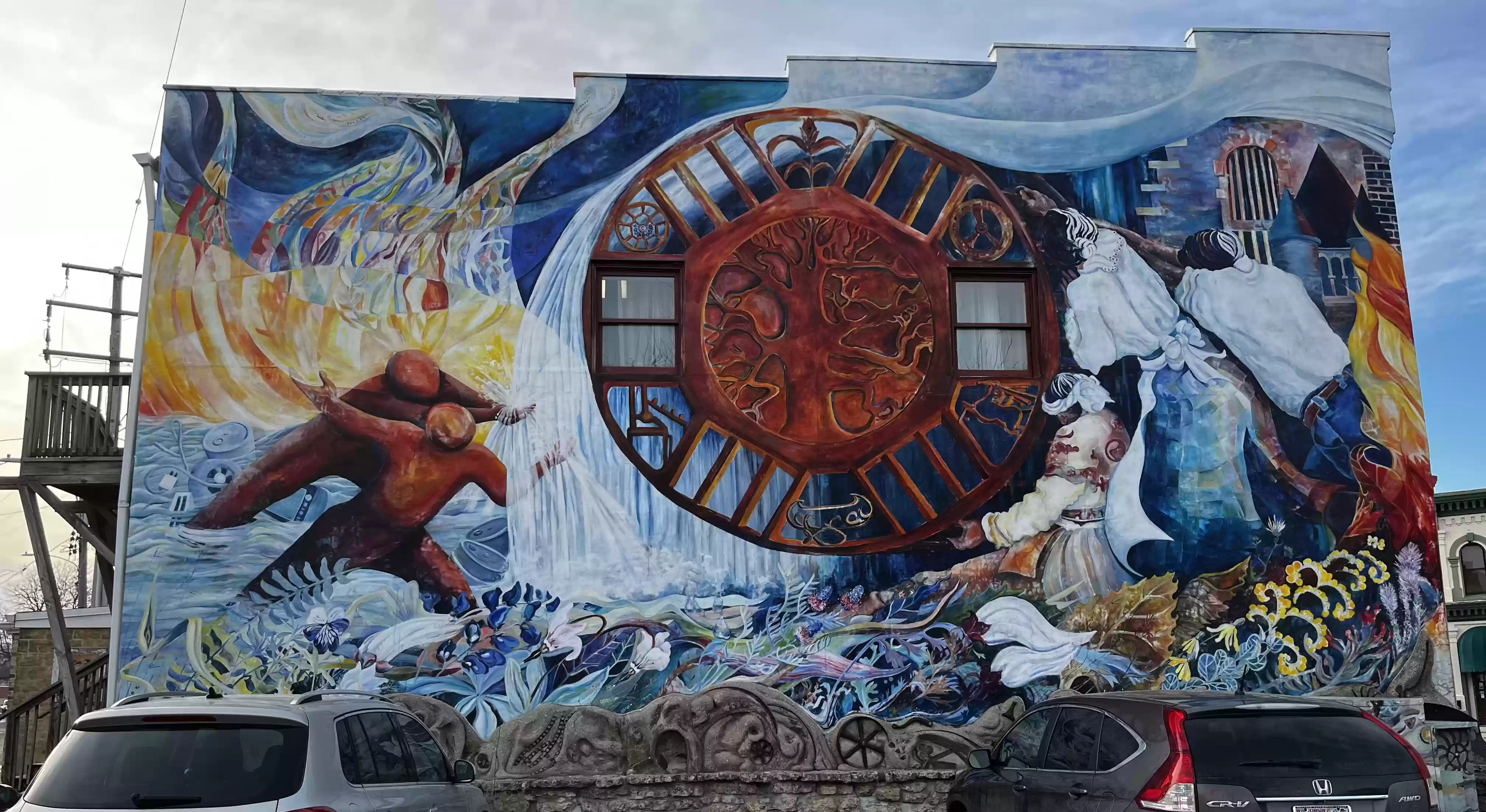
1. Begin at the Center Street Parking Lot with the Prairie Tillers Mural (Caryl Yasko, 1980) located at W. Whitewater and W. Center Streets.
2. Cross W. Whitewater at the crosswalk and walk southwest along
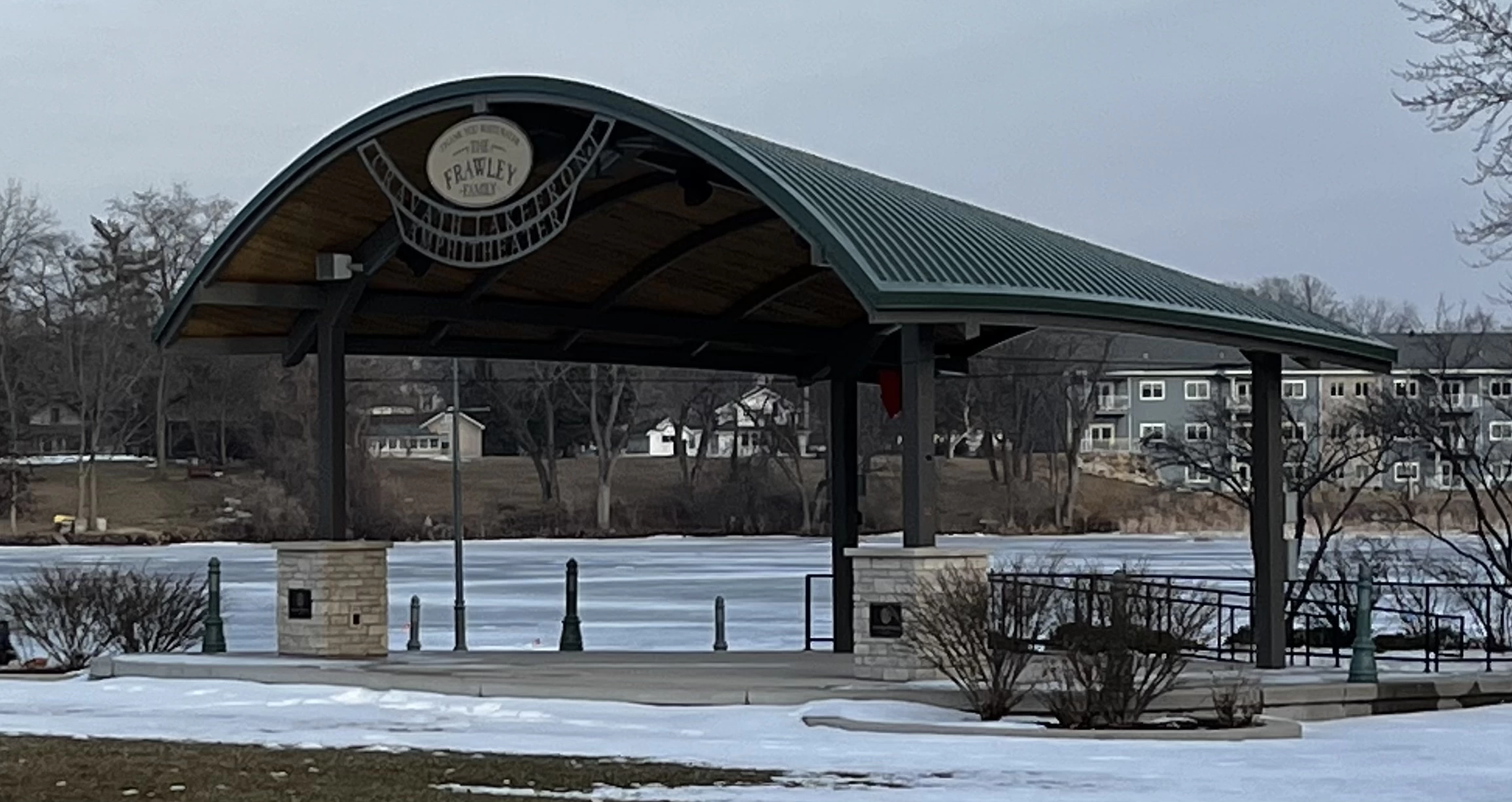
W. Whitewater to pass by the Cravath Lakefront Arch (2007-08) at Akido St.

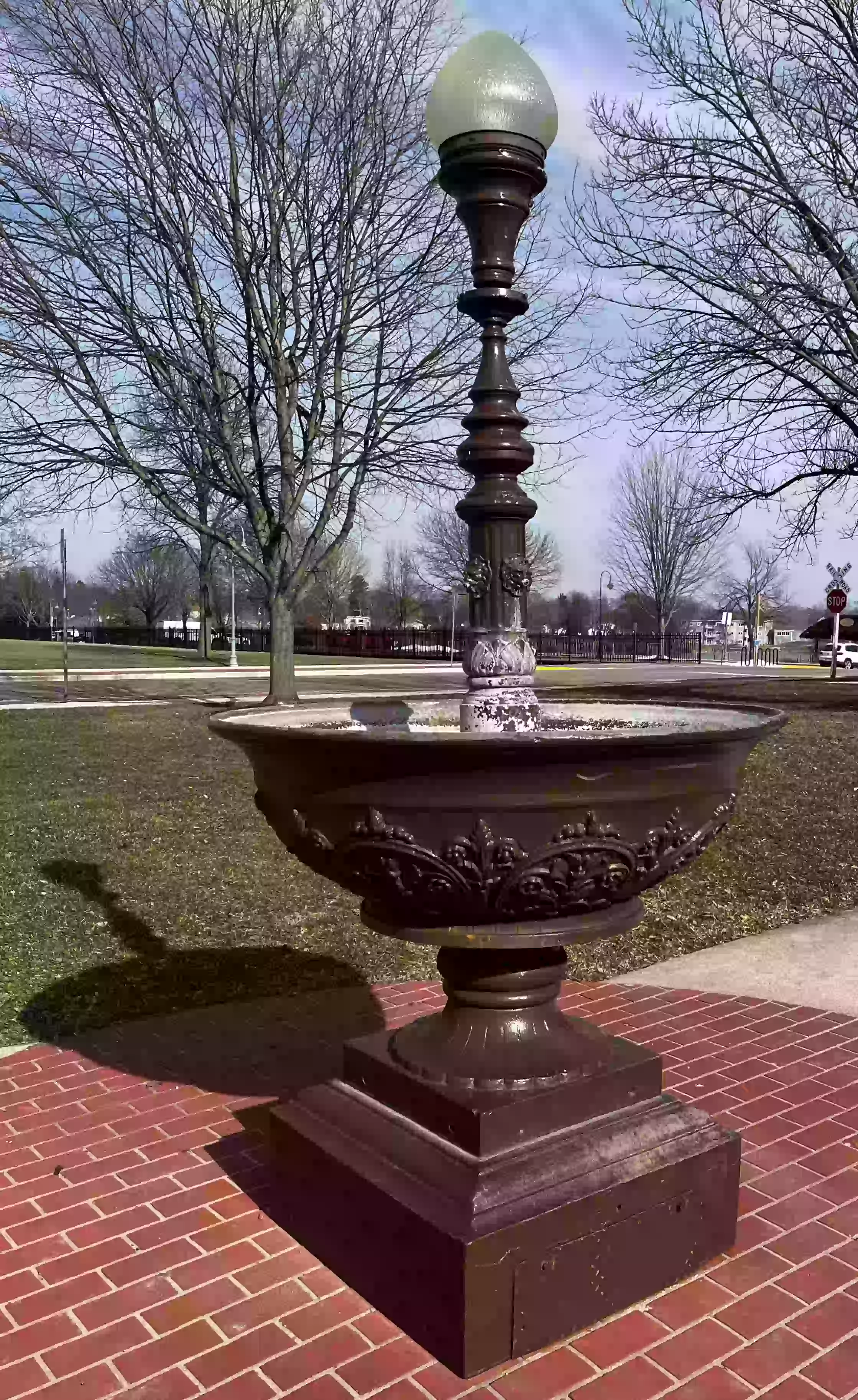
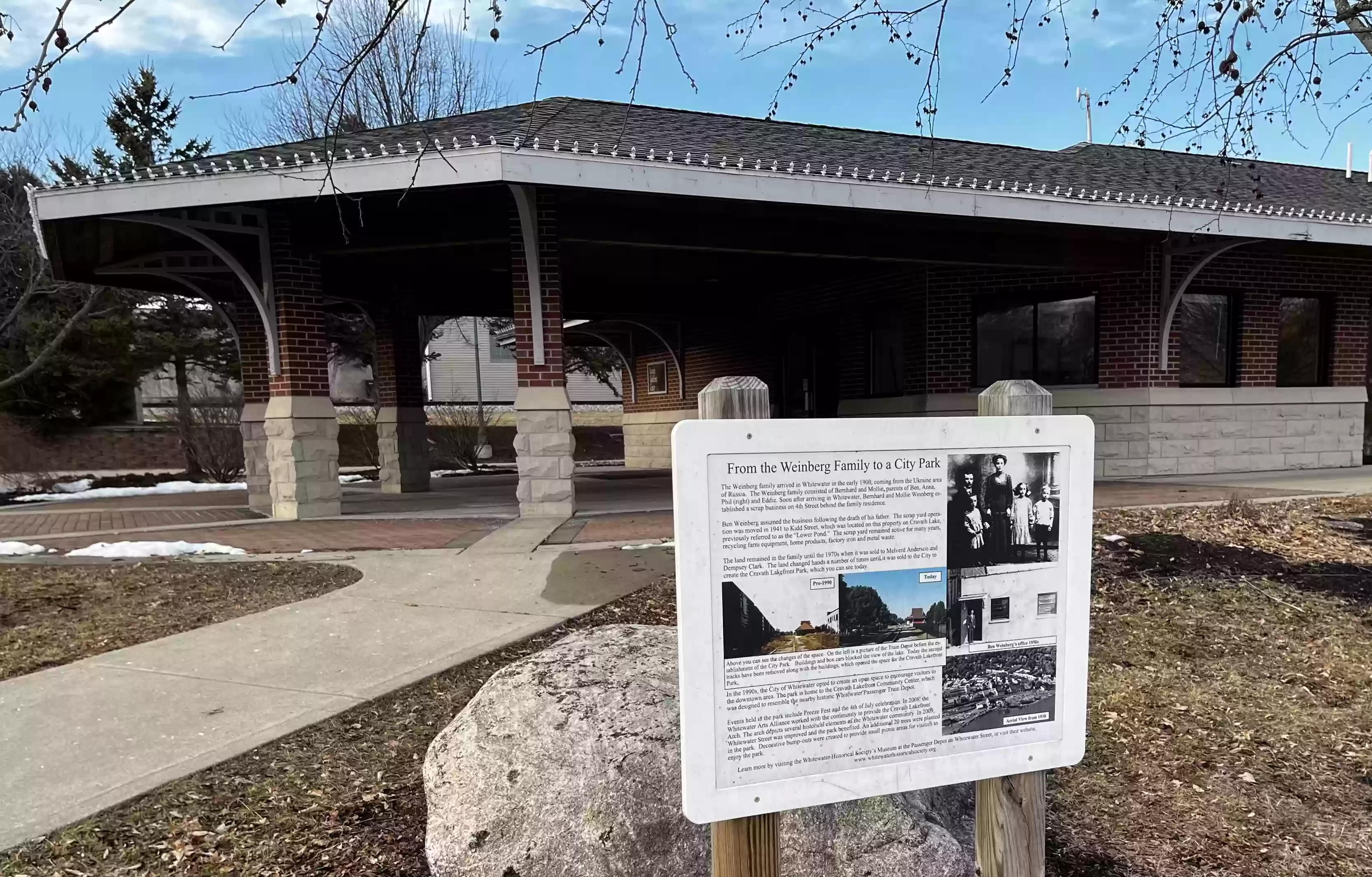
3. Continue along W. Whitewater past the fountain in front of the old train depot.

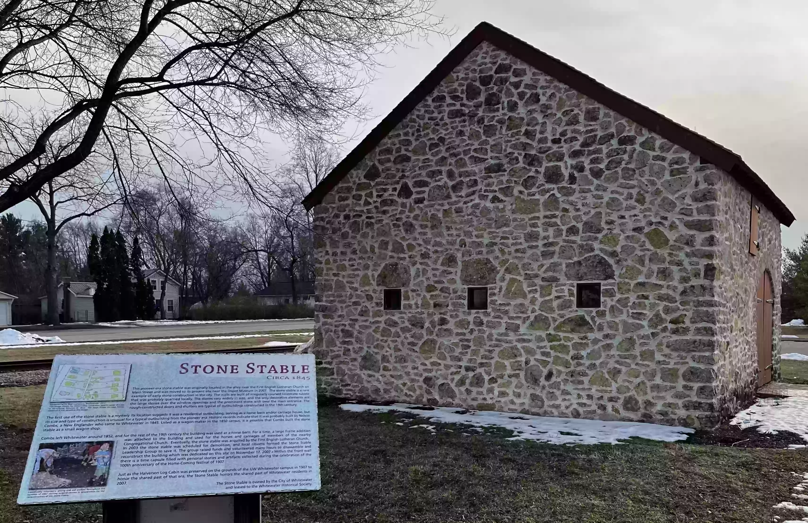
4. Continue along W. Whitewater and cross the parking lot to the Stone Stable.
5. Return to the old Passenger Train Depot (1890-91)
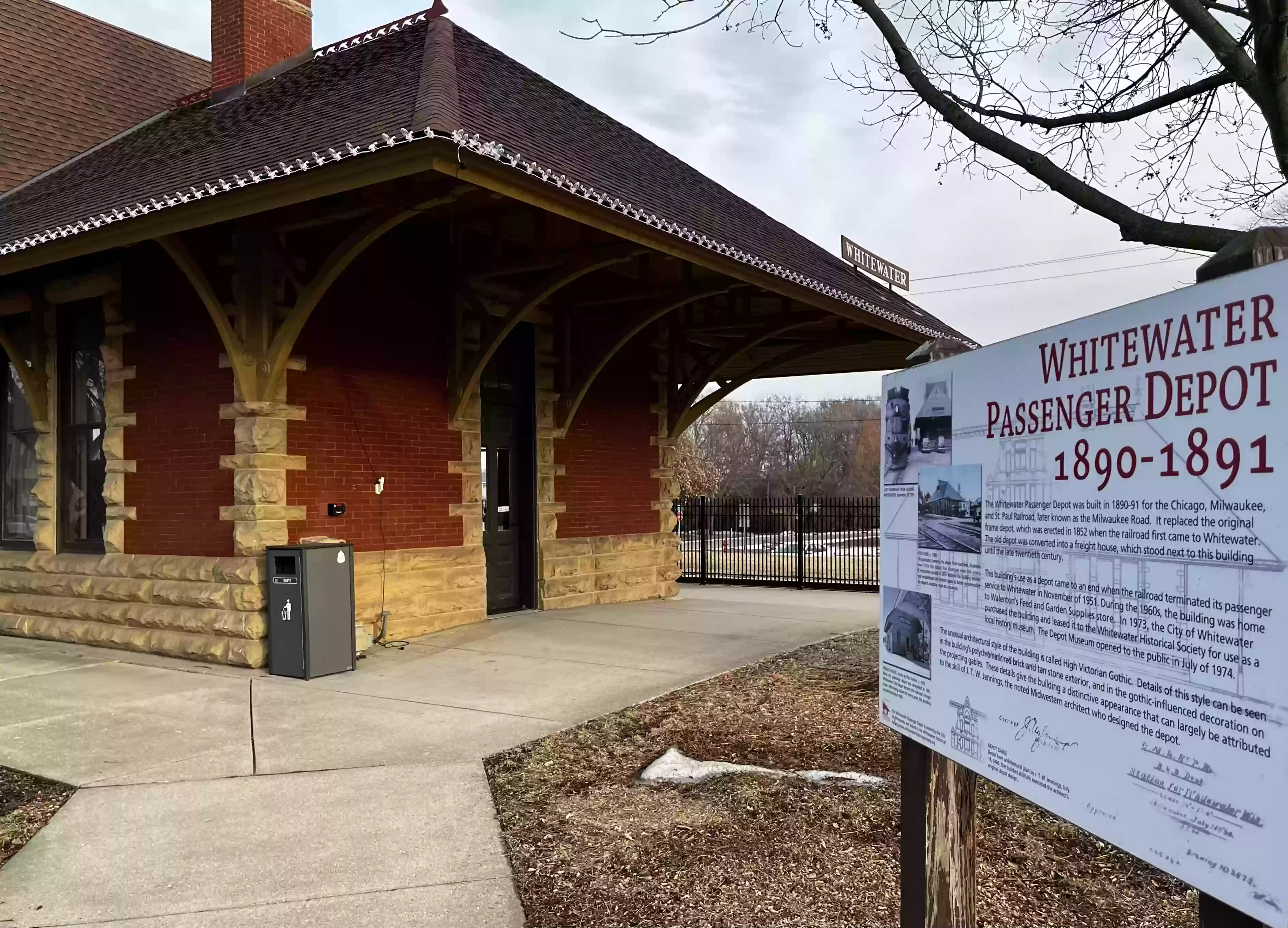
Related Video: Landmark Trek 3: Whitewater Depot part 1 by James Olm. An educational, mini-documentary on the history of the Whitewater, Wisconsin Passenger Depot from its beginning to 1951.
Related Video: Landmark Trek 4: Whitewater Depot part 2 by James Olm. An educational, mini-documentary on the history of the Whitewater, Wisconsin Passenger Depot from 1951 to 2023.
6. Cross S Fremont St. to Cravath Lakefront Park and walk along
the lake path past the fish and the Frawley Family Amphitheater (2020).
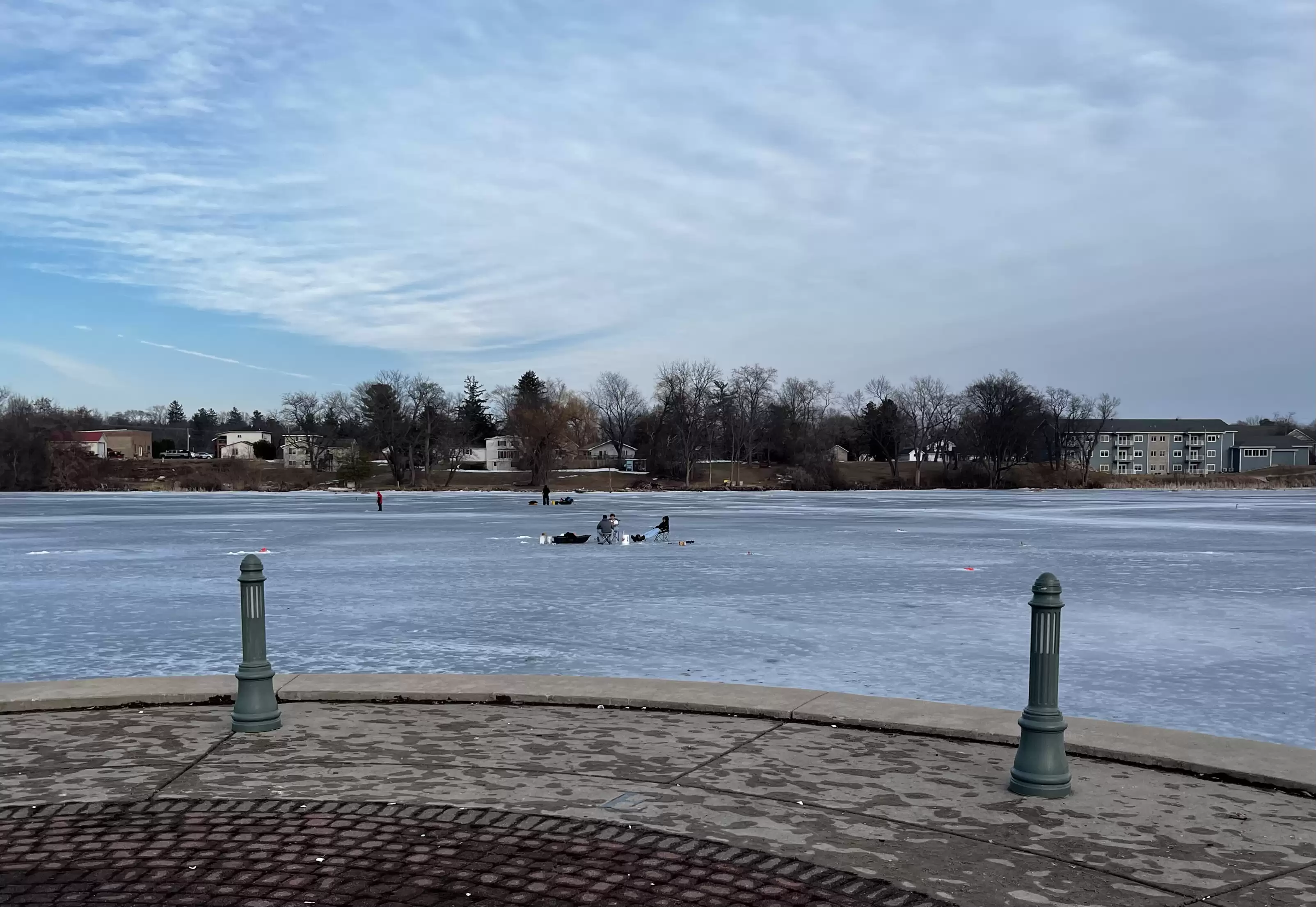
7. Whitewater residents enjoying Cravath Lake recreation.
8. Continue along the lakefront past the Cravath Lake Community Center
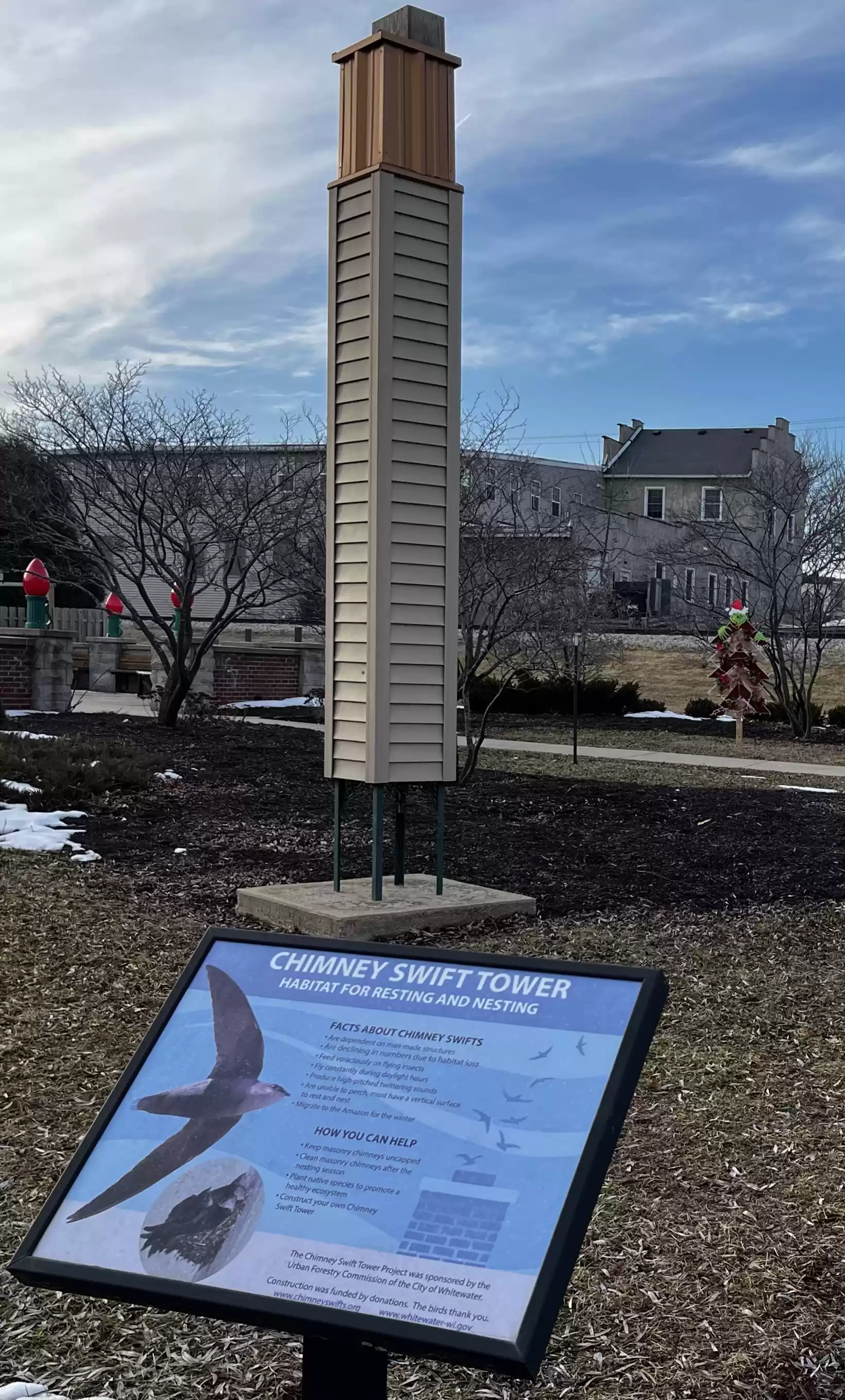
9. Continue along the lakefront past the Chimney Swift Tower. Whitewater is a Bird City.
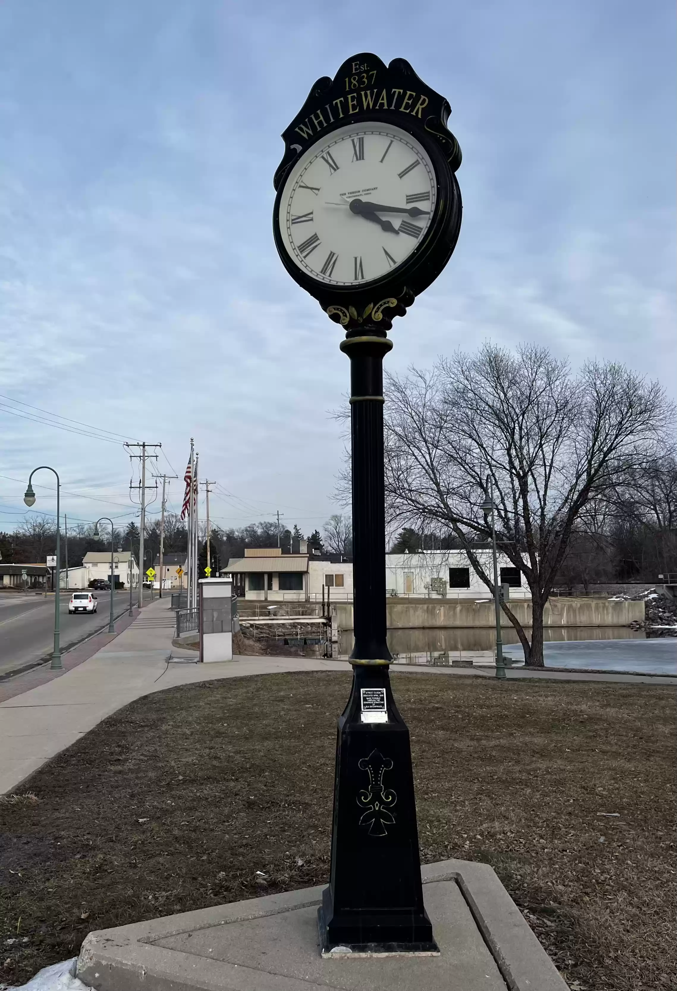
10. Continue along the lakefront, past the boardwalk and rail underpass to Main Street and the Whitewater Street Clock. (2005)
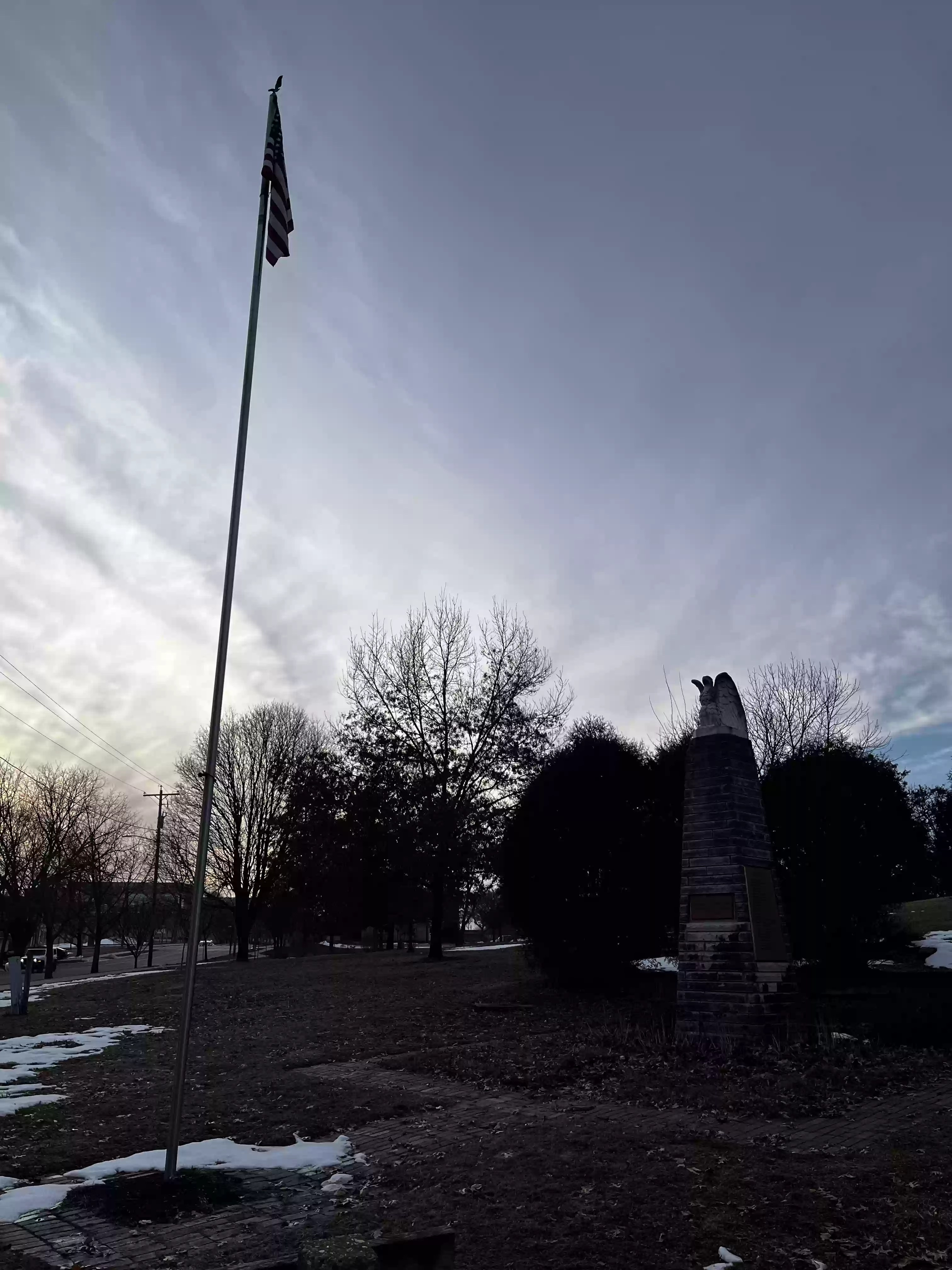
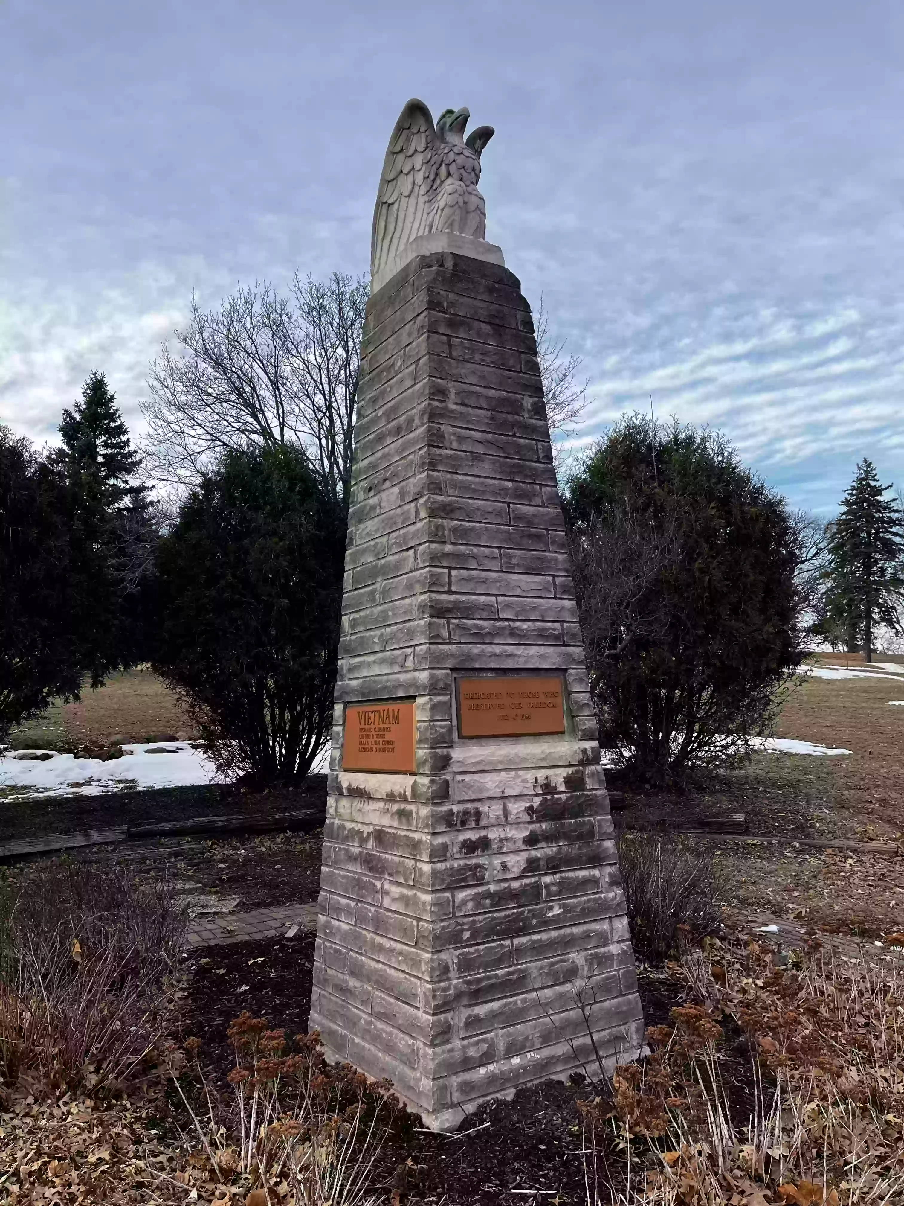
11. Follow E Main Street east past the Veterans Flag Memorial. (2003)

12. Continue along the sidewalk as E Main turns to E Milwaukee
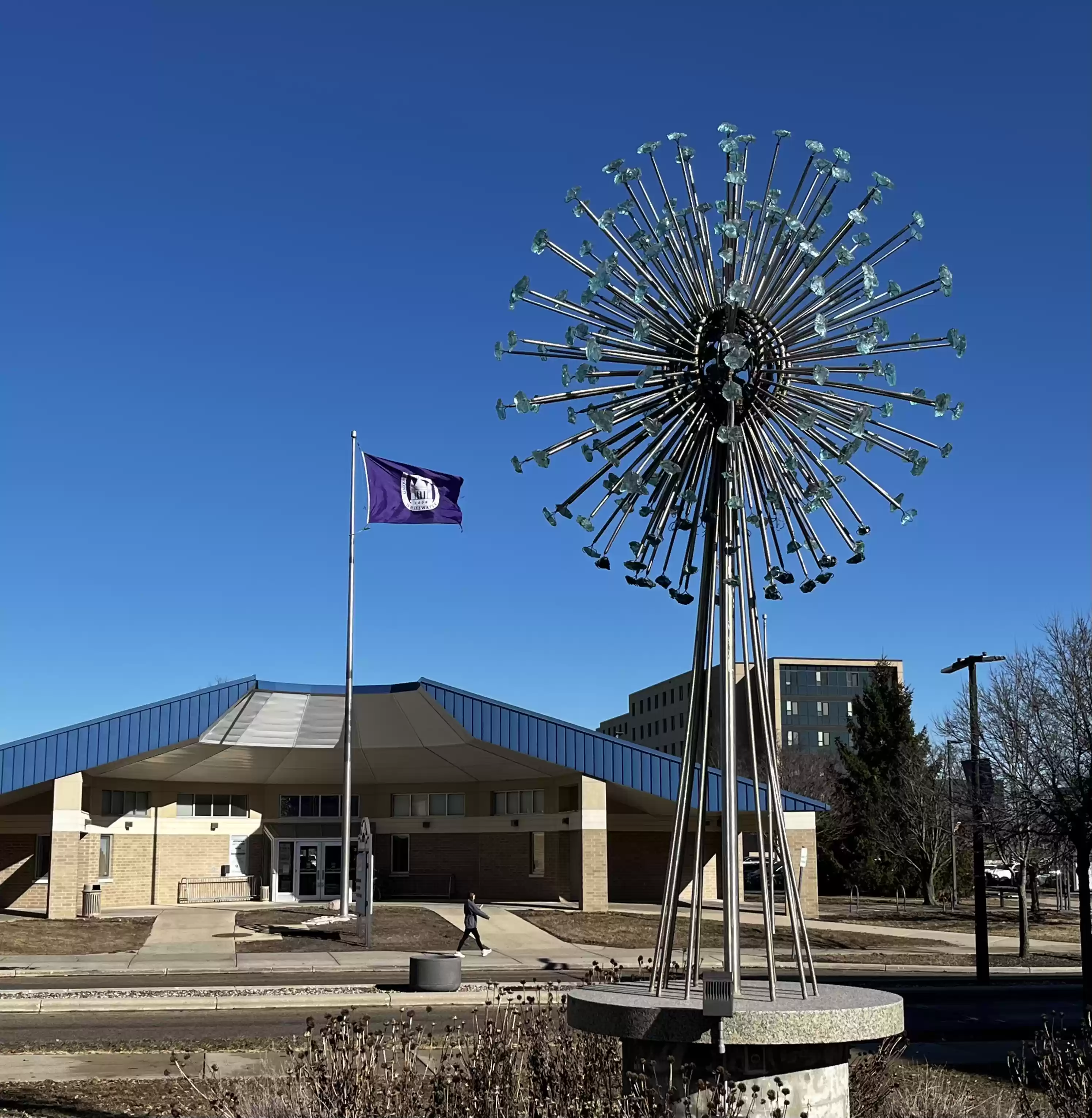
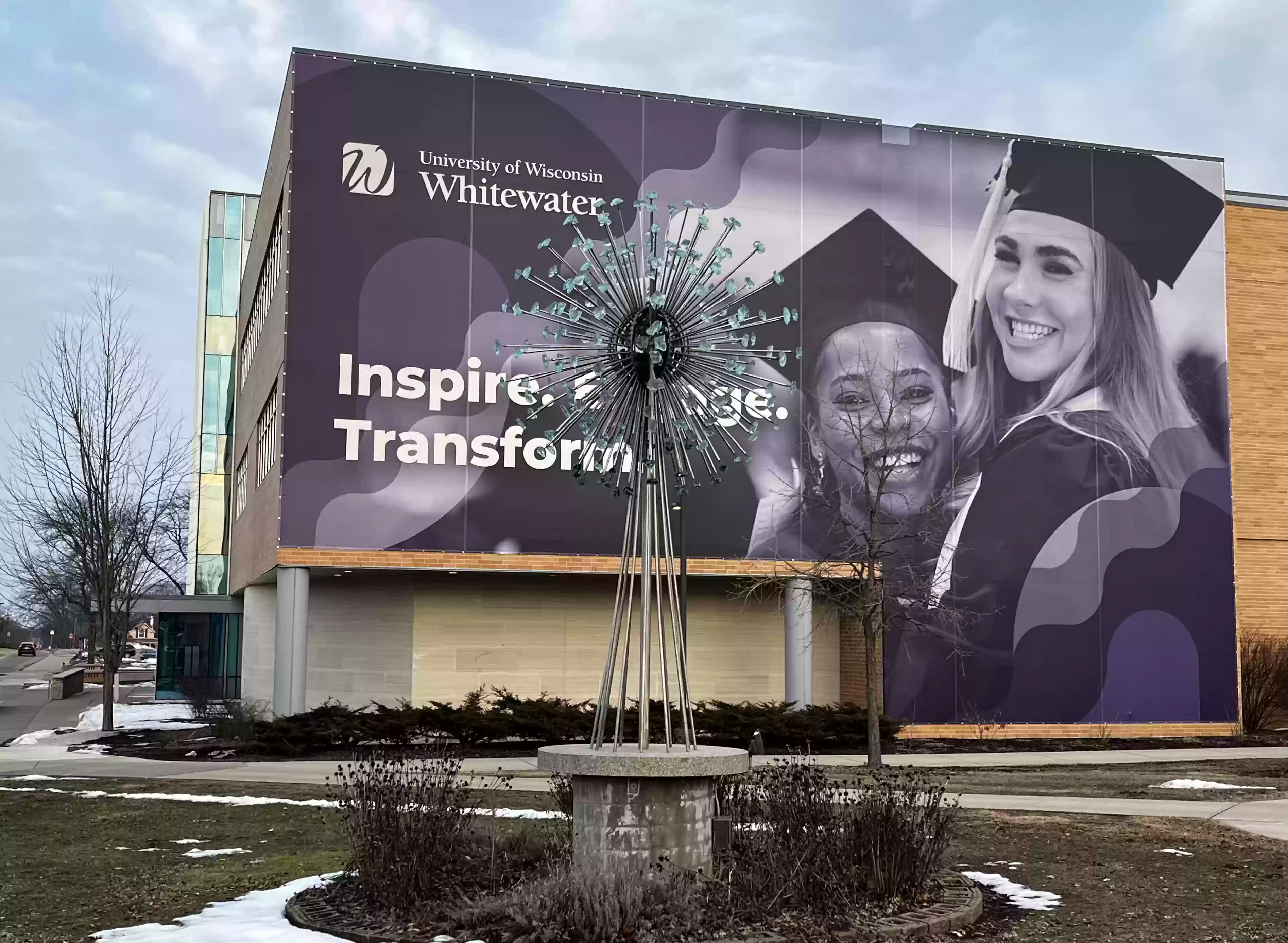
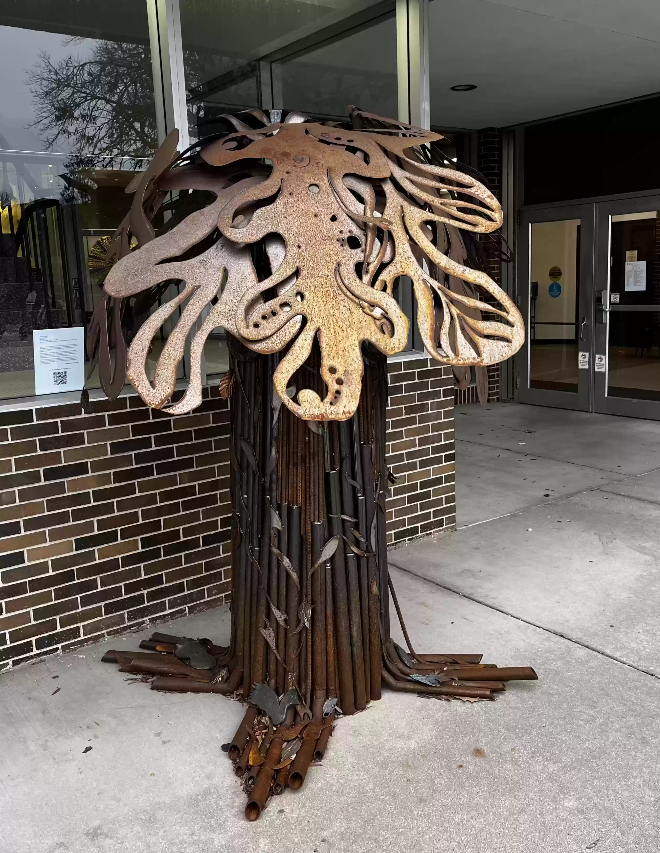
St. At the corner of S Wisconsin and E Milwaukee is "Ascent and Bloom" (1) sculpture by Richard Taylor. (2017)

13. If S Wisconsin is taken south for approximately 200 paces (1000 ft.), a great view of downtown Whitewater can be seen from across Cravath lake.
 Return back to the Ascent and Bloom sculpture.
14. Cross S Wisconsin and E Milwaukee at the crosswalks, go
north west to cross E Main to see "Ascent and Bloom" (2) by Richard Taylor. (2017)
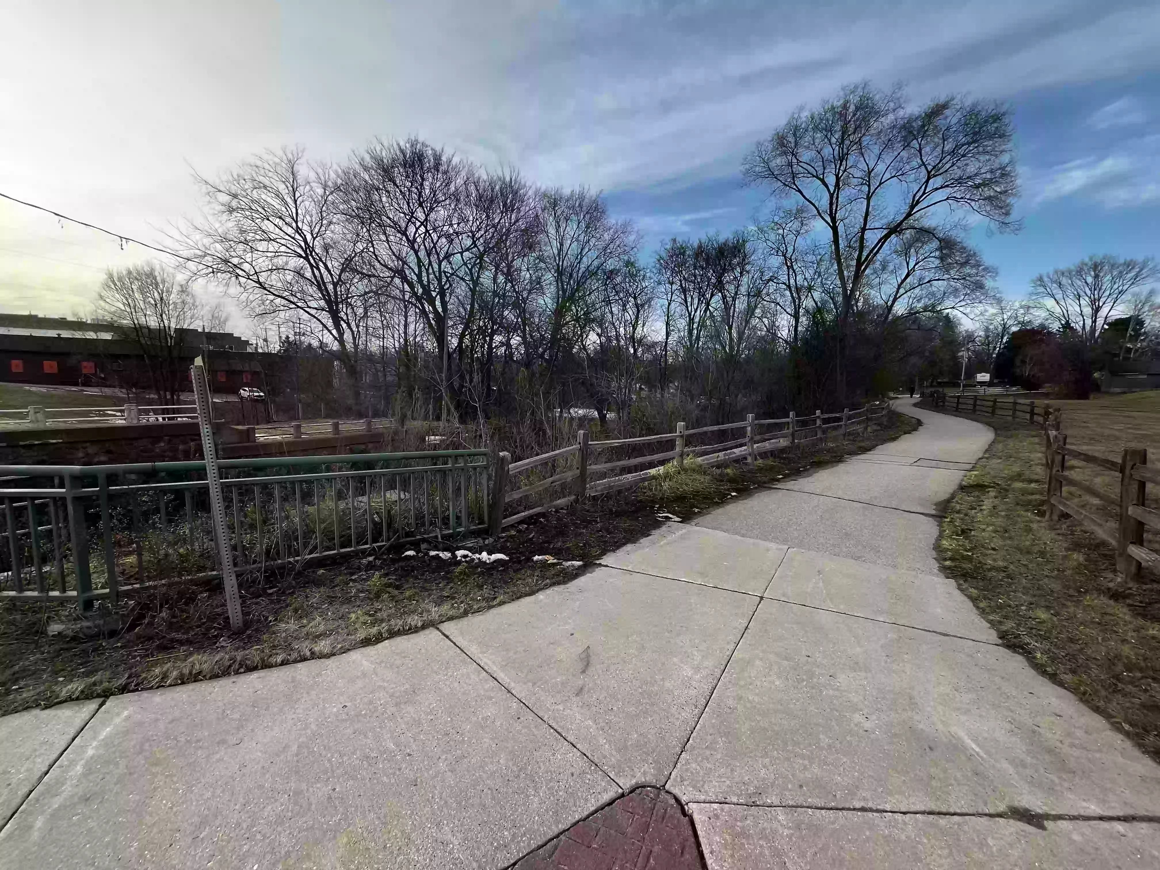
15. Follow along E Main to the multi-use path and follow it north along Whitewater creek.
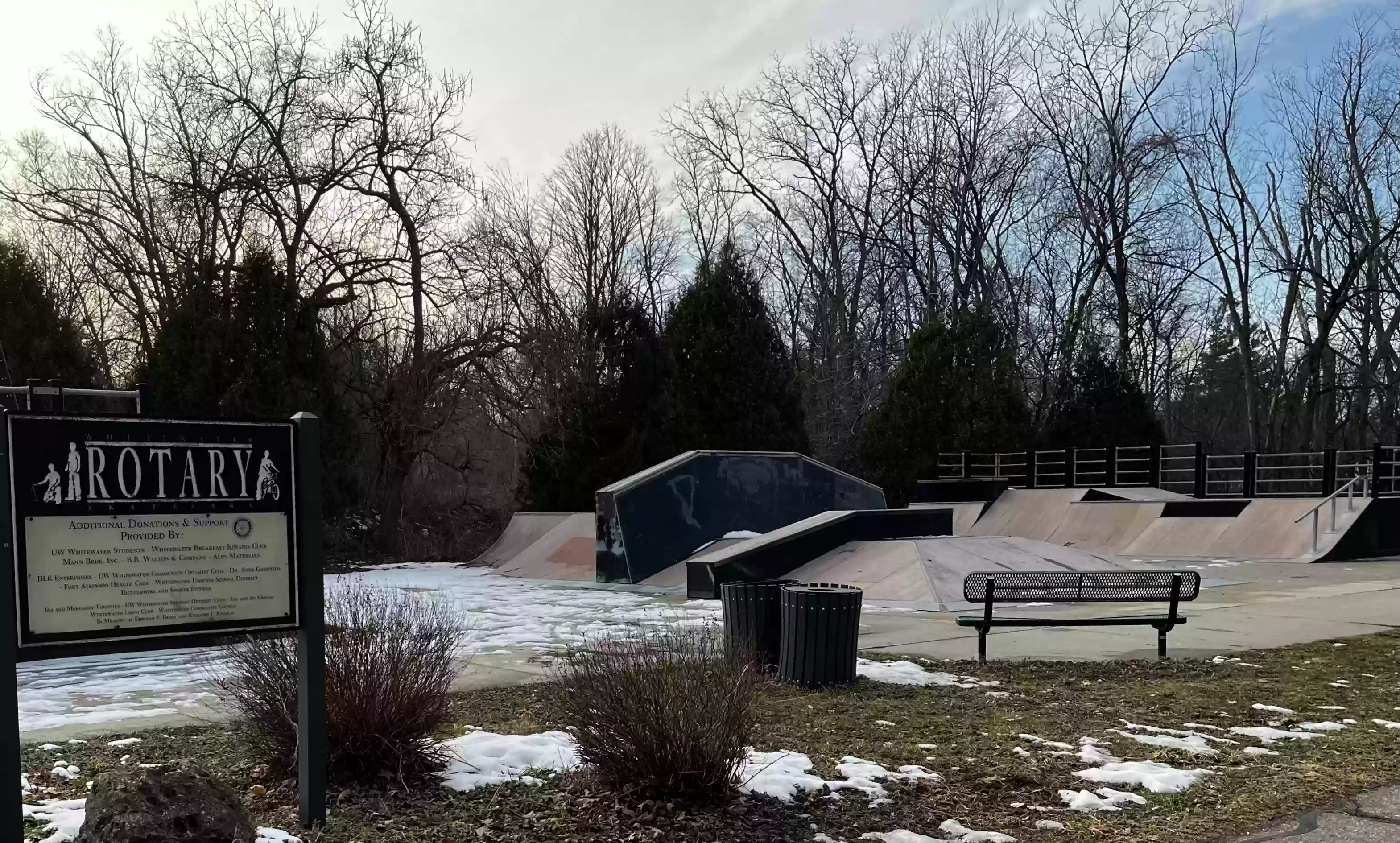
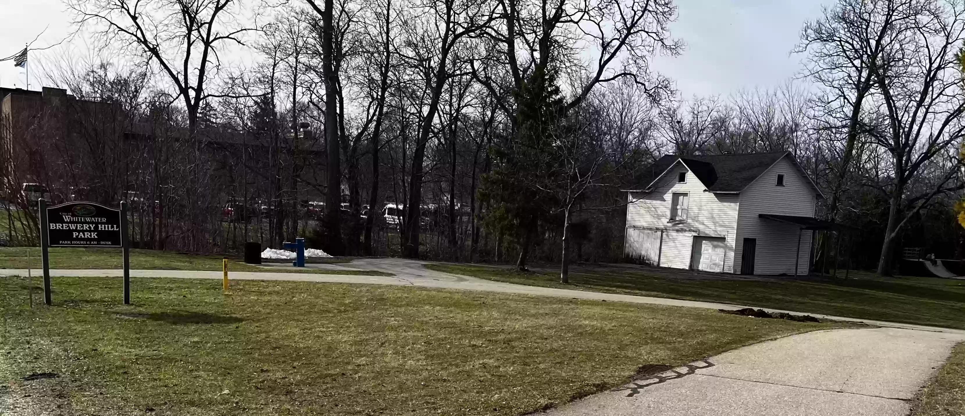
16. Cross W North St to Brewery Hill Park. Follow the path north past
the Rotary Skate Park.

17. Continue north along the path. From the bridge, turtles can sometimes be seen during summer basking on the bank of Whitewater creek.
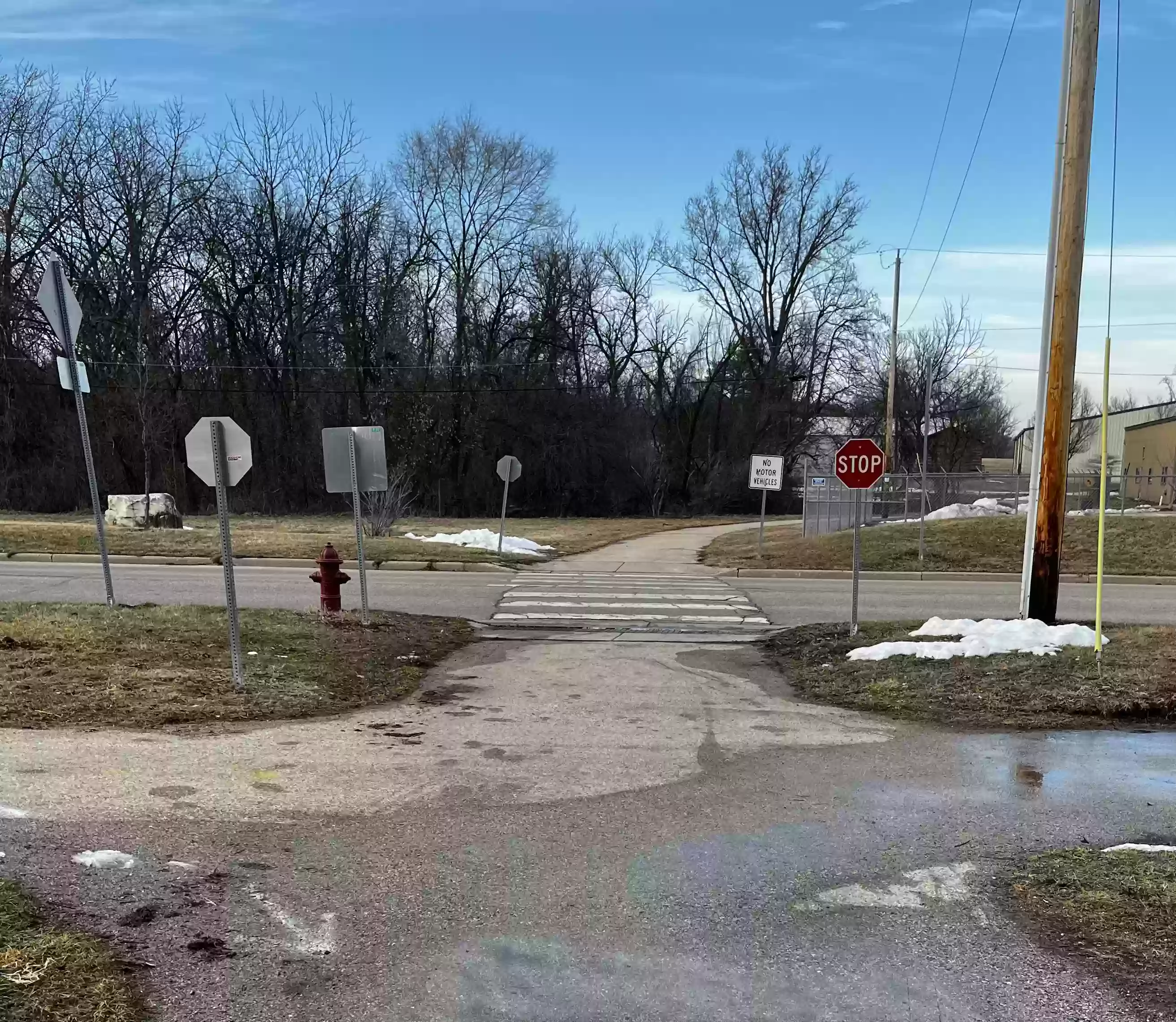
18. Continue along the path and cross Starin Rd. Continue
north.

[If the path to the right (east) is taken, you would pass the Whitewater Bark Park where people bring their dogs to play.]
19. Continue north on the path, past the Ray Trost Nature Preserve.
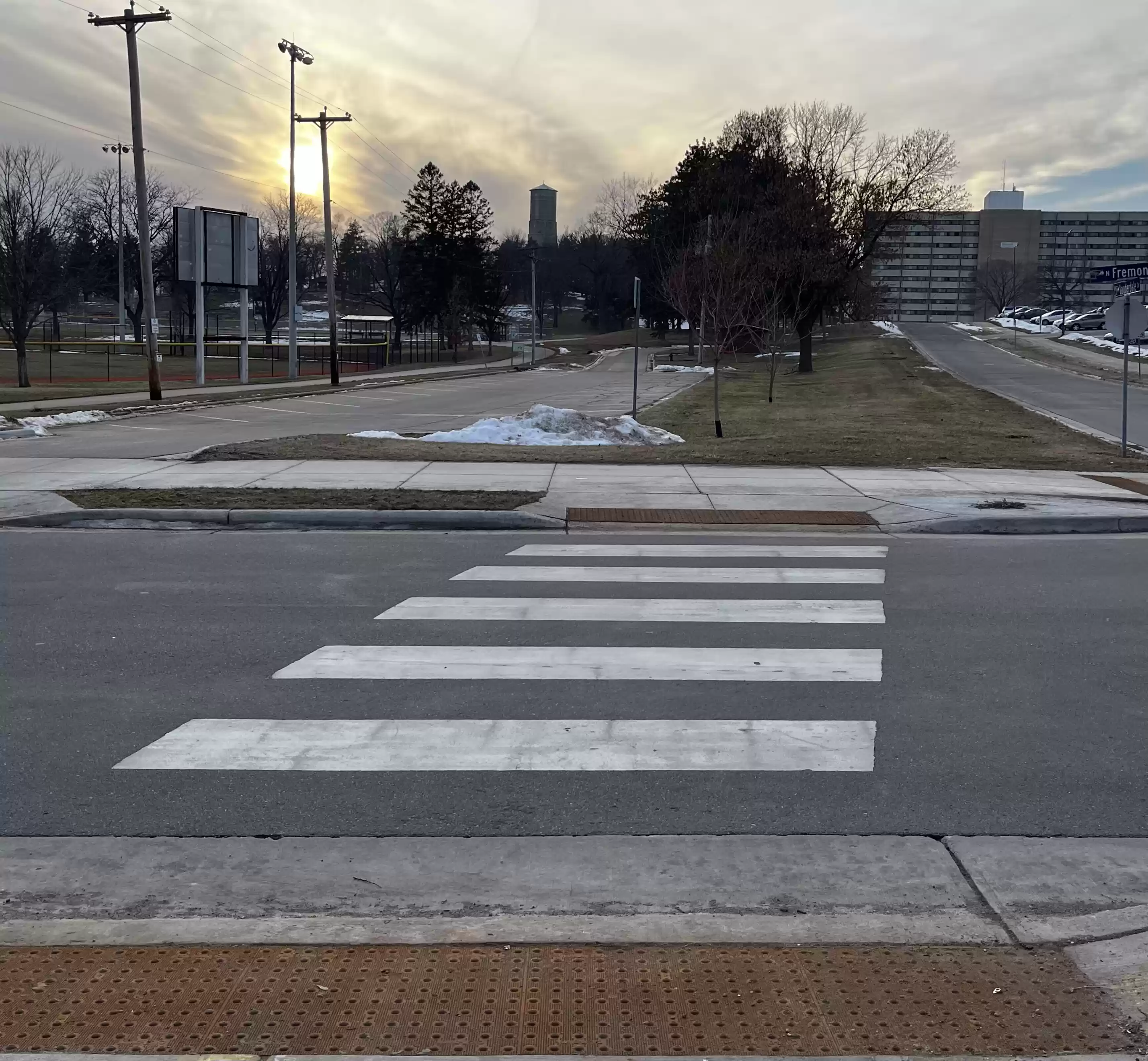
20. The path will then curve west and cross N Fremont St to
Starin Park.

21 Follow the path (there is a slight jog south) west and enter Starin Park toward the Trayton’s Field of Dreams baseball field.
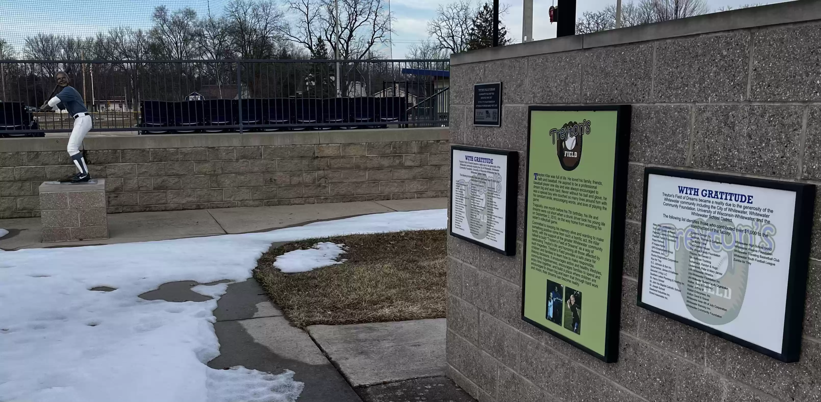
22. Follow the path south, there is a statue of
Trayton Kilar.

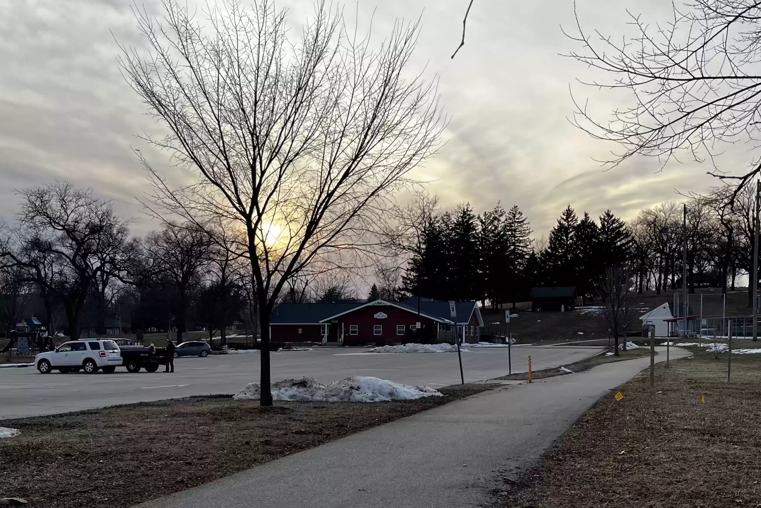
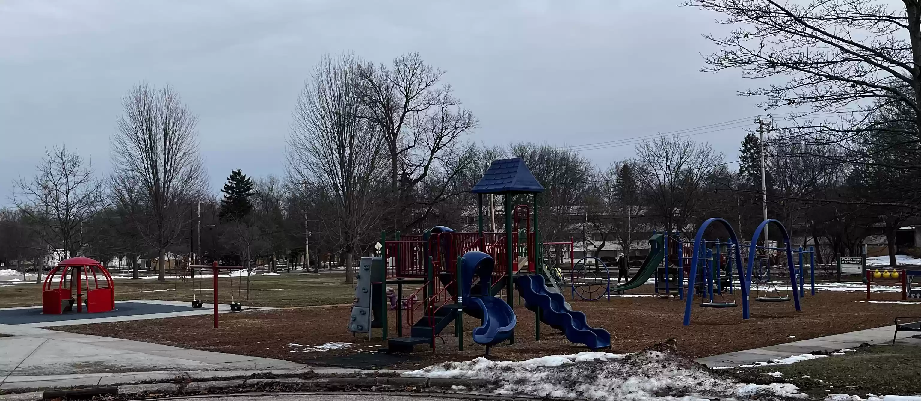
23. Follow the path west and south past the Starin Park community
center and the playground to Starin Rd.
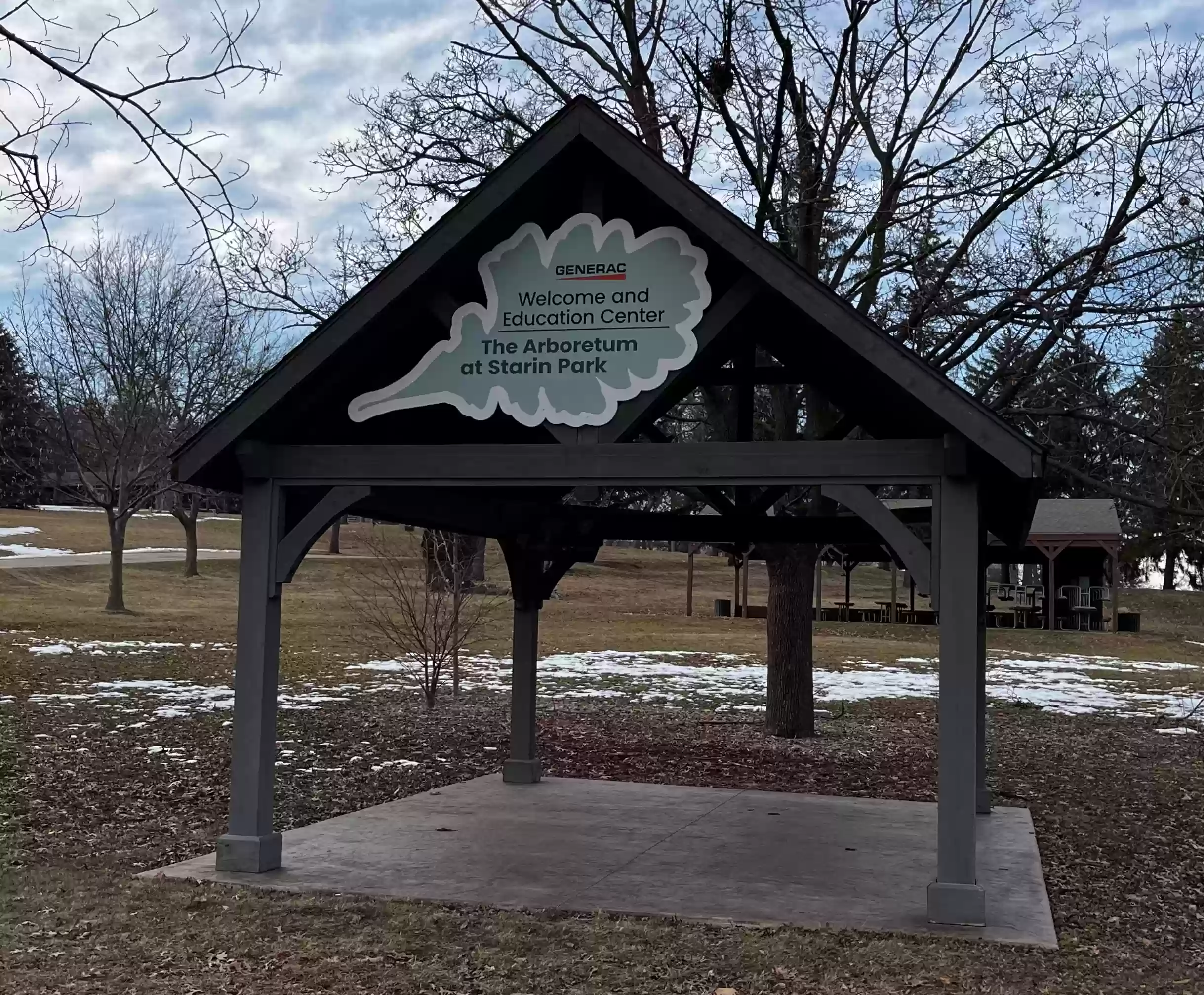
24. Turn west and follow Starin Rd past the Arboretum at Starin
Park shelter.
25. At Starin and N. Esterly is the Veteran’s memorial garden.
26. At the veteran’s memorial garden follow the road north up the hill to the
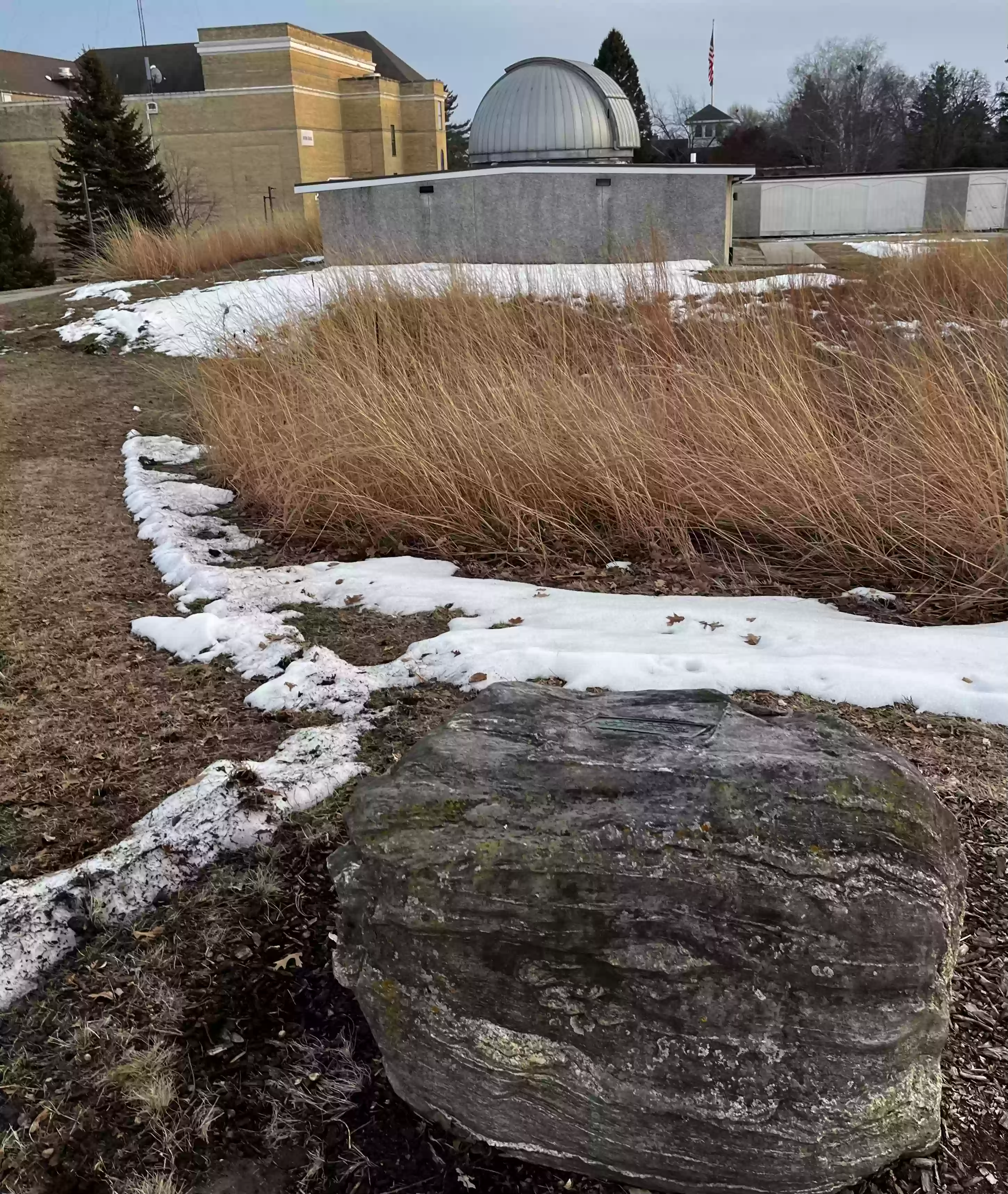
Starin Park Water Tower (1889).
[Alternate path: continue along Starin Rd west to the corner of
Starin and N Prairie St. (Item 28)]

27. Continue west down the path passing by the Whitewater
Horseshoe game field. Traverse the parking lot south along N Prairie to Starin
Rd.
28. Corner of Starin and N Prairie St.
If you want a shorter walk at this point, follow N Prairie south
to W Main Street to bypass the UW-Whitewater loop (see Item 56.) Otherwise, continue onto the UW-Whitewater campus.

Begin the University of Wisconsin - Whitewater Loop
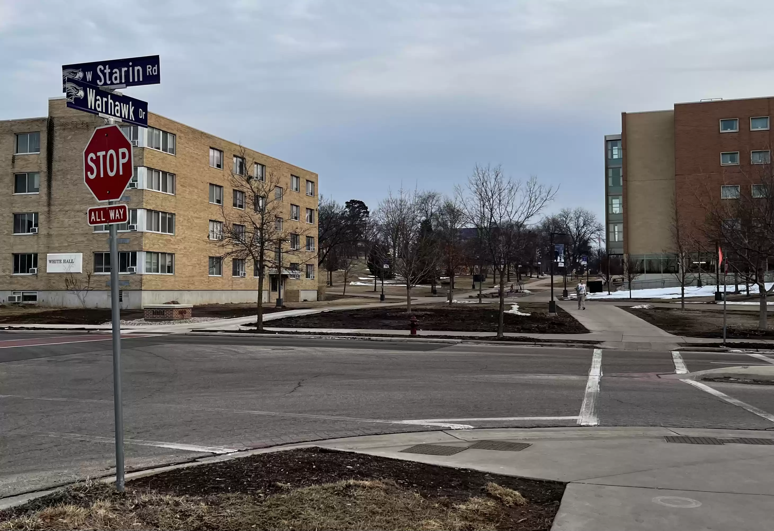
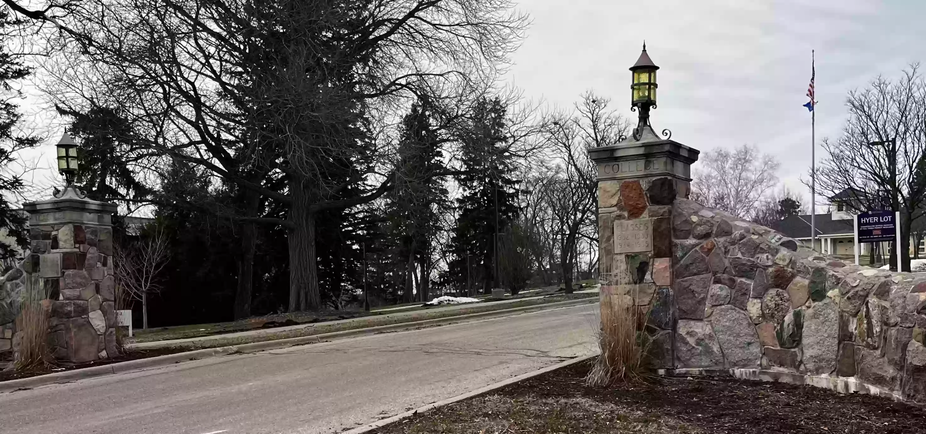
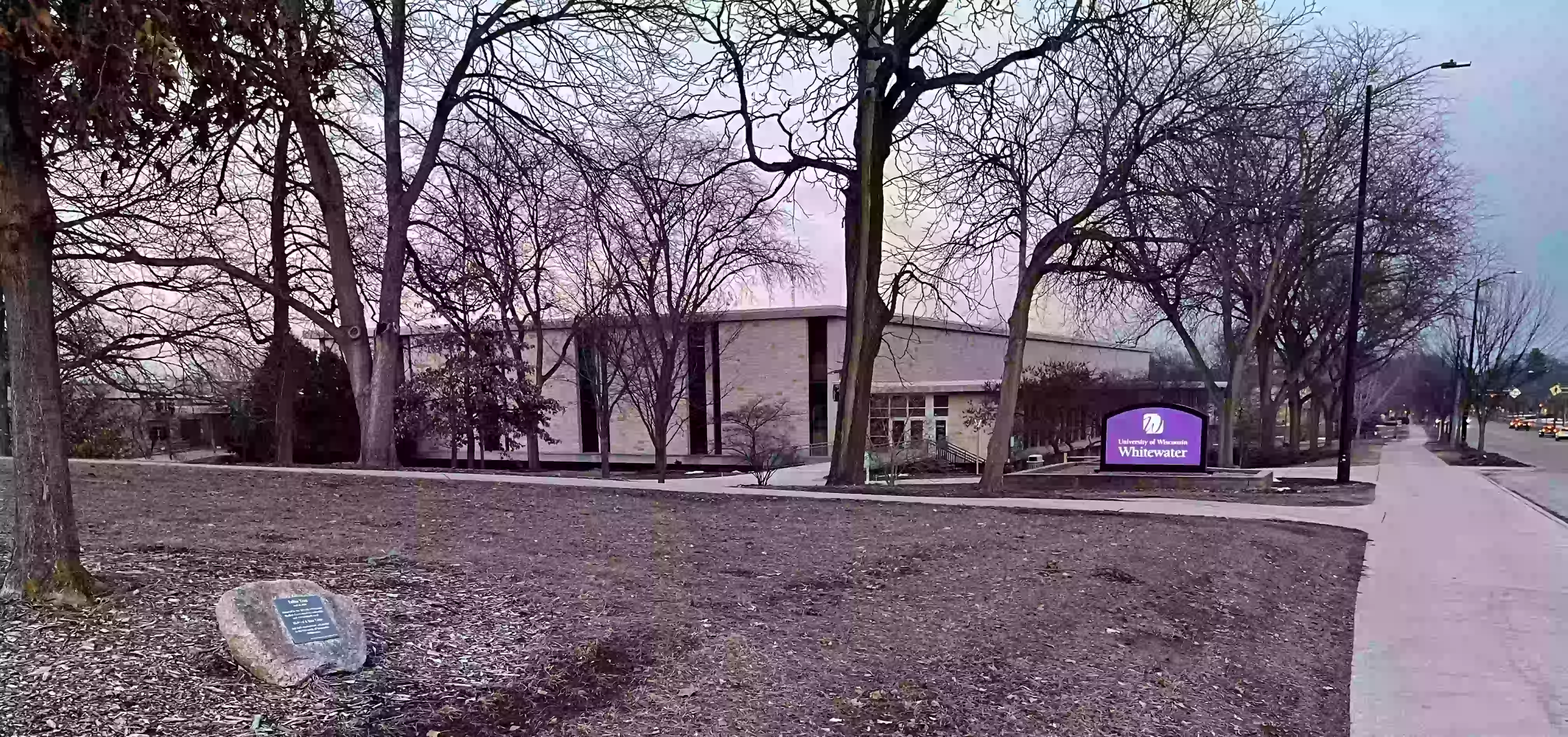
29. Cross west to the Whitewater campus at the corner of W Starin and N Prairie.
Alternate UW-Whitewater tour self-guide information can be found on the excellent self-guided UW-Whitewater Campus History Tours page and the University of Wisconsin - Whitewater Self-Guided Tour Brochure and Map (pdf).
30. Continue west along Starin Rd past the Campus Garden.
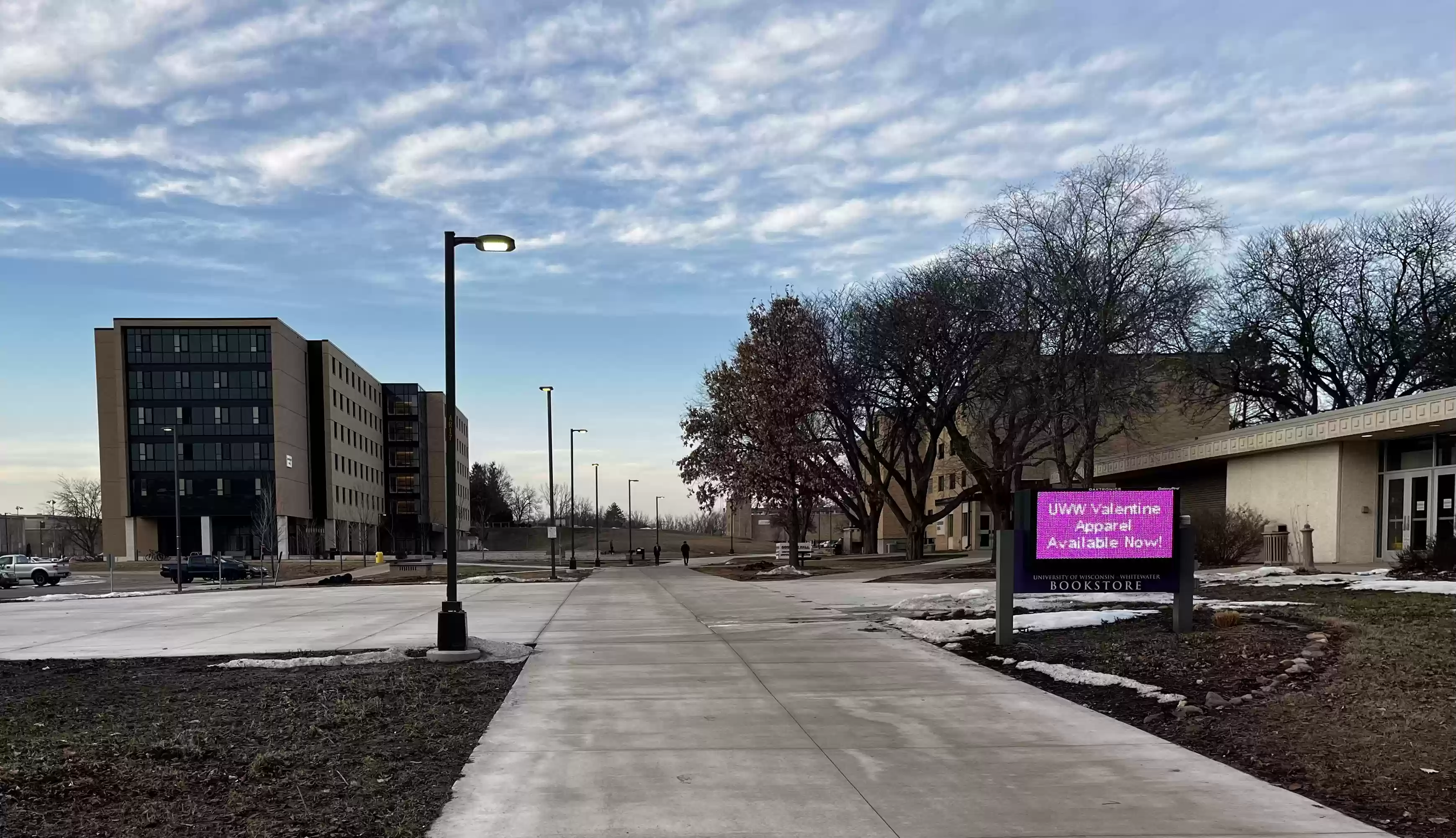
31. Follow the wide sidewalk path north past the UW-Whitewater University Bookstore and past Goodhue Hall toward
Ma’iingan Hall.
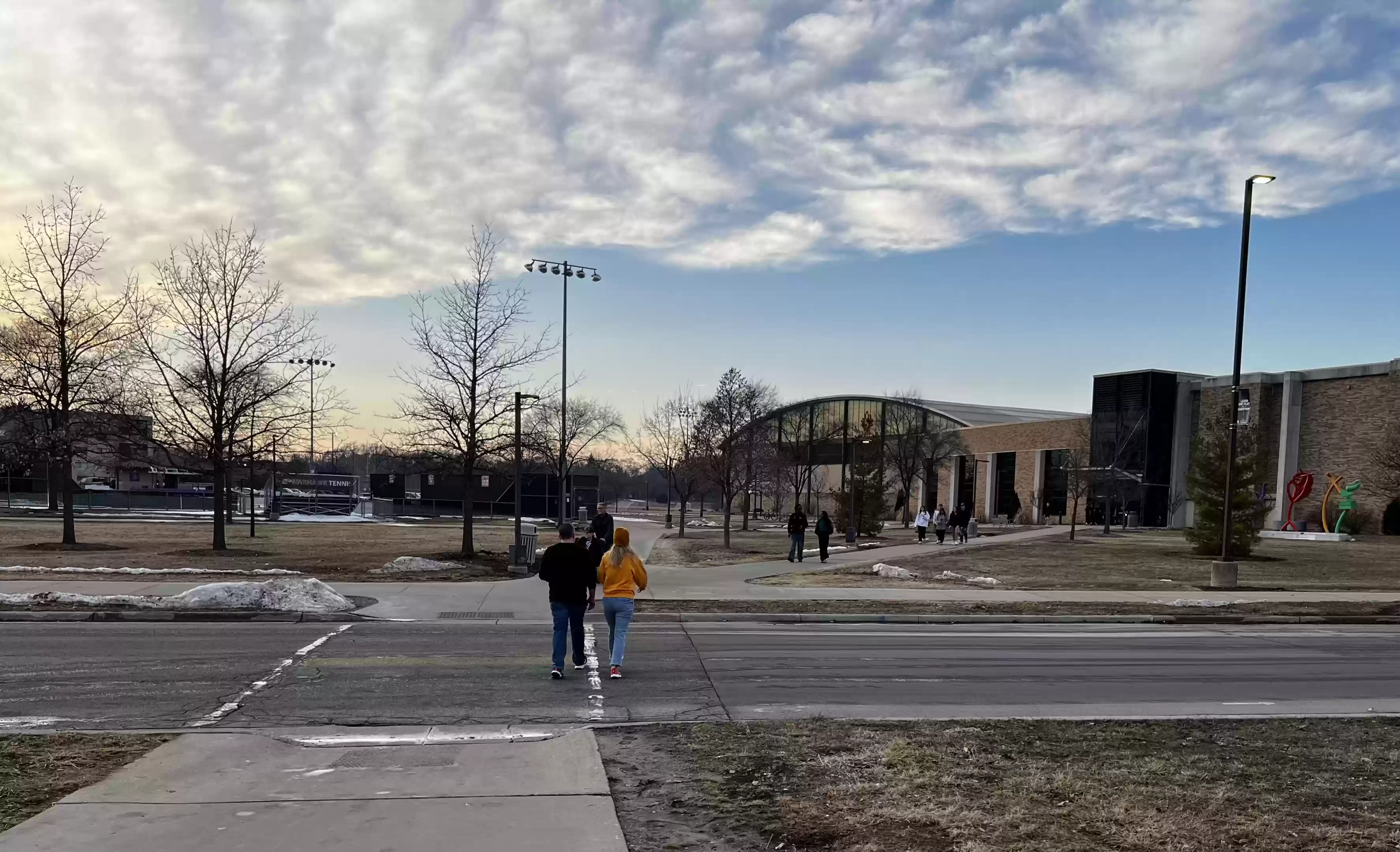
32. Follow the sidewalk west across Warhawk Dr. toward Williams Center.
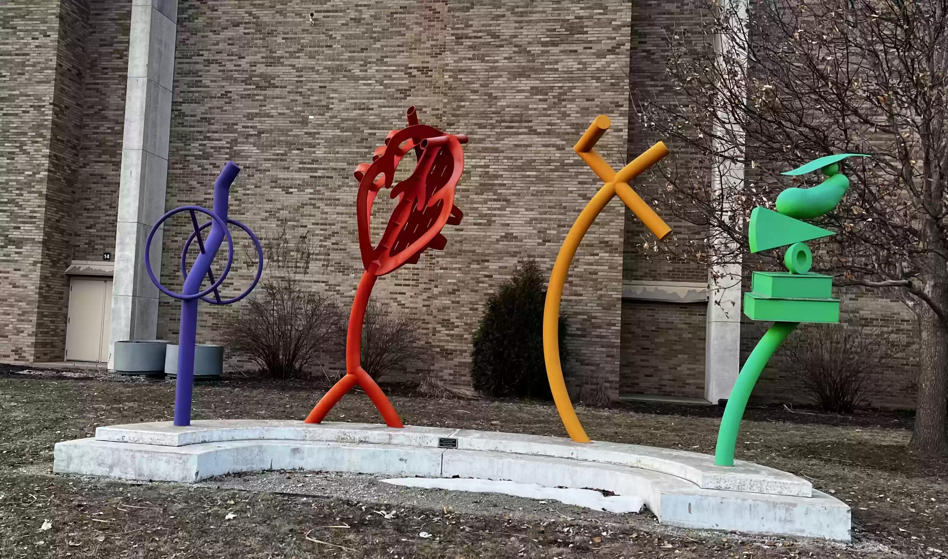
33. In front of Williams Center is the sculpture "Disability, Cardio, Fitness & Nutrition" by Susan M. Walsh (2008).

34. Return along Warhawk Dr. (south) and cross Starin Rd.
35. Follow Starin Rd. east toward Hyland Hall to the
Marni Raintree sculpture (1970, formerly located as part of a fountain in front of Upham Hall).
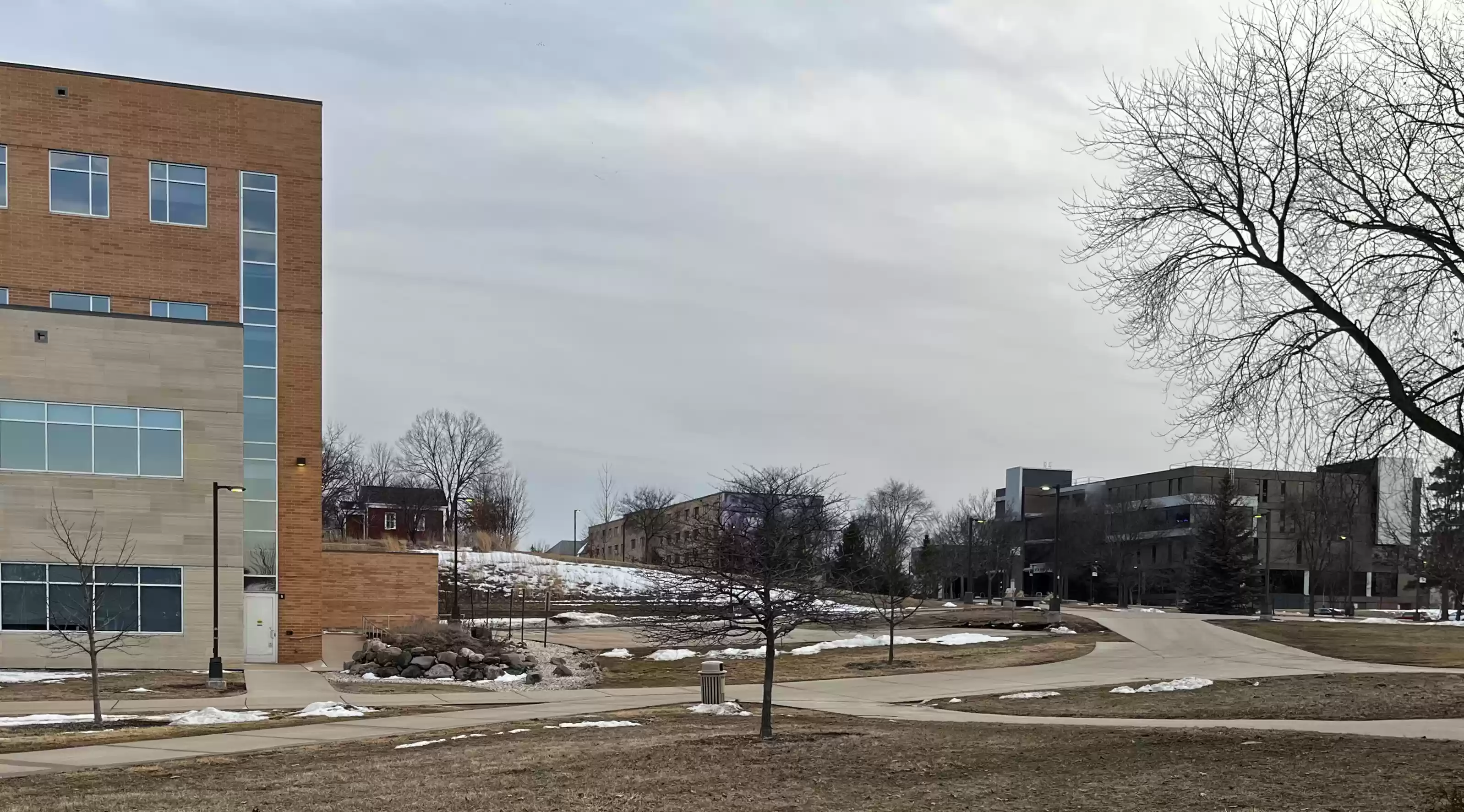
36. Continue east past the front of Hyland Hall on Starin Rd.
37. Through the window (in the atrium) of Hyland hall, the Arc of Exchange by Charlotte Ann Paul (2009) may be seen.
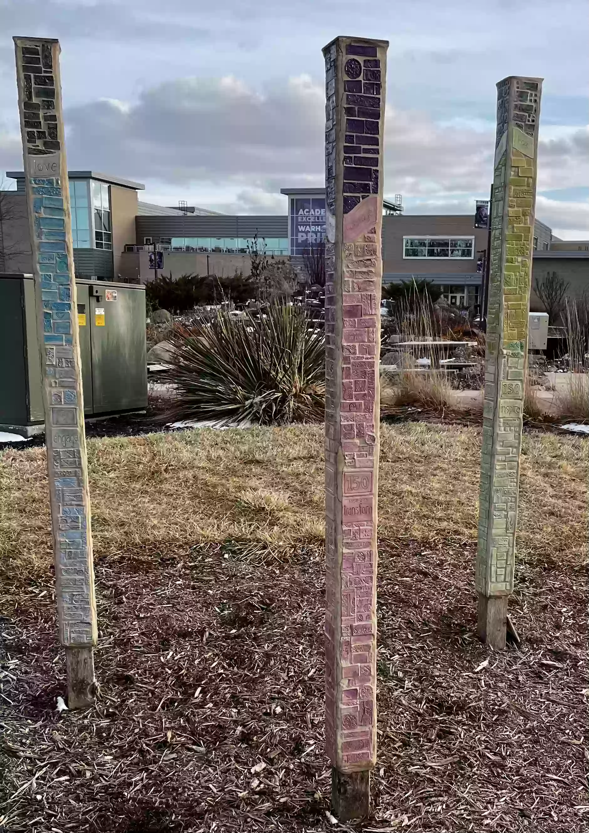
38. Walk south along Wyman Mall between Upham and Hyland Halls to "Hope, Courage, Love" (2018) community art project directed by Milwaukee's "Sisters Central City Circle of Change".
39. Directly behind is the Minneiska Springs Water Feature (2012).
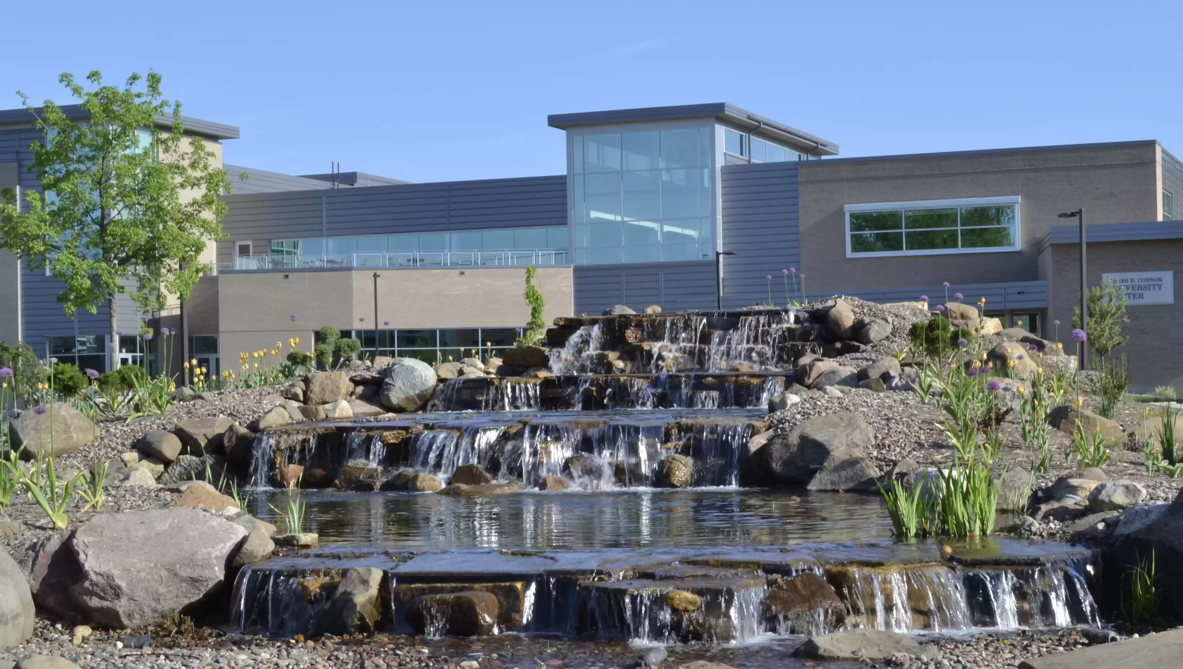
This memorial fountain honors Warren and Virginia Theune.
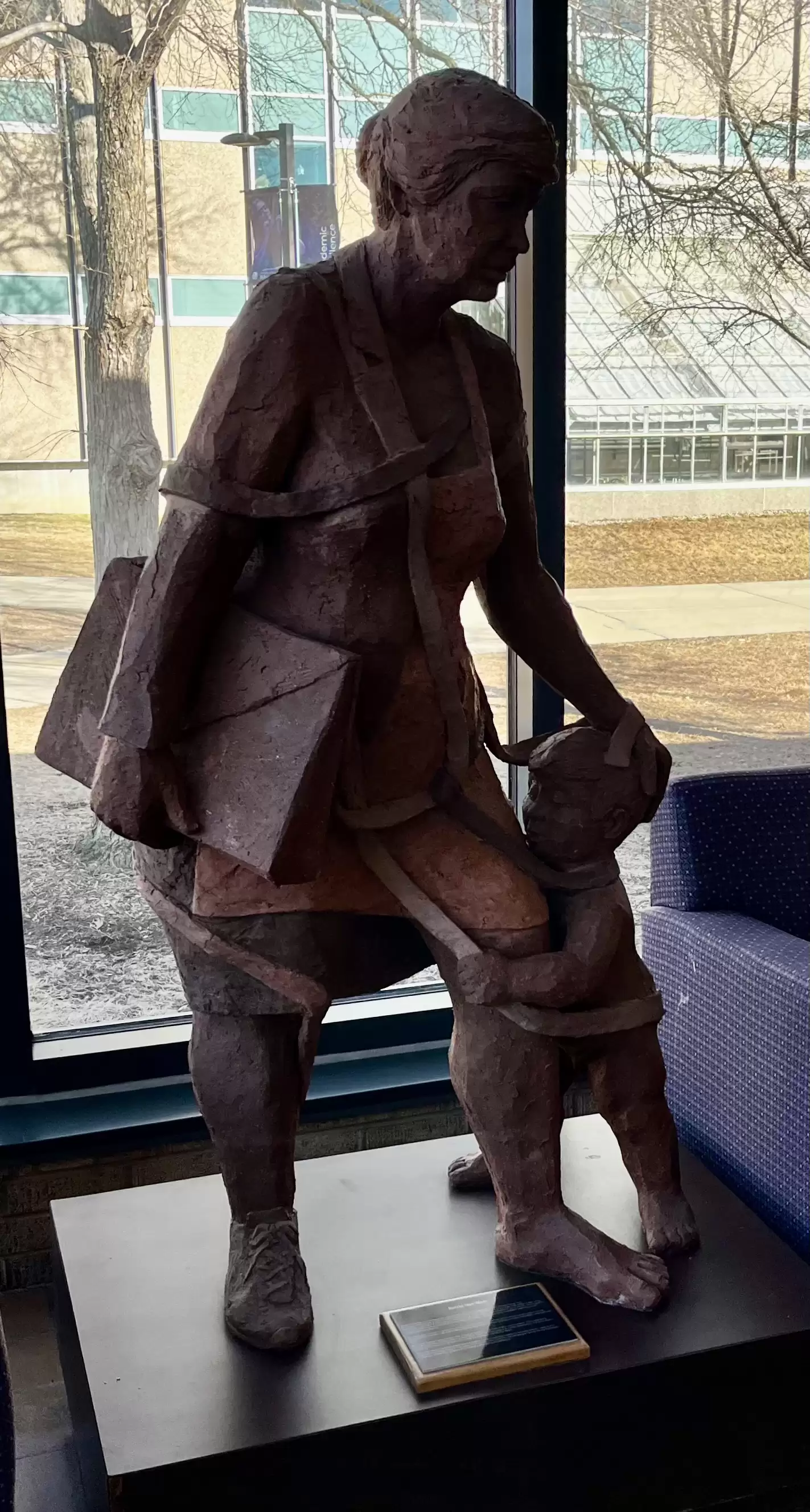
40. East of the fountain is the Roseman building. In the entry is the "Battle Not Won" sculpture by Sheila Oettinger of a working mother and child.
41. South of the fountain, in front of the University Center, is "Lay of the Land" by Susan Falkman (2008) granite sculpture.
42. Follow the path west of the fountain up Moraine Hill ...
[Alternate route: continue on the path next to Hyland, past Laurentide Hall and then south to Young Auditorium (Item 47).]
43. ... to the Little Red Schoolhouse. (1866)

44. Continue on the path south past The Halverson Log Cabin (1846)
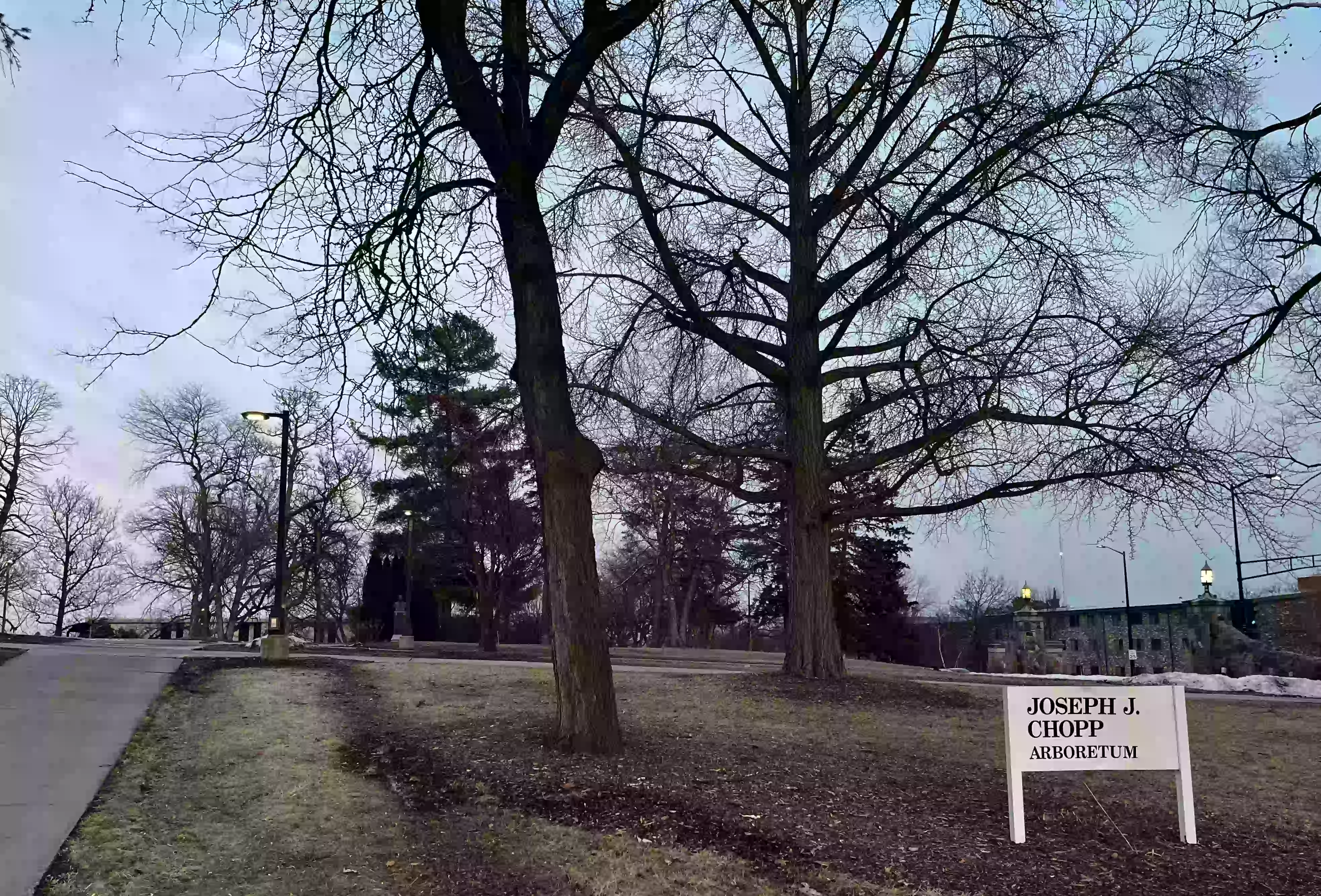
45. Past the Log Cabin is a stone marker for the Chopp Arboretum (1975), the Whitewater
Observatory, Hyer Hall (a wing of Old Main) and the Whitewater Alumni Center (1981).

46. Next to Hyer Hall is a bust dedicated to The World War. Take the path west between the observatory and the alumni
center down the hill toward the Young Auditorium.


47. Outside the Young is "Jubilation" by Guido Brink (1992).

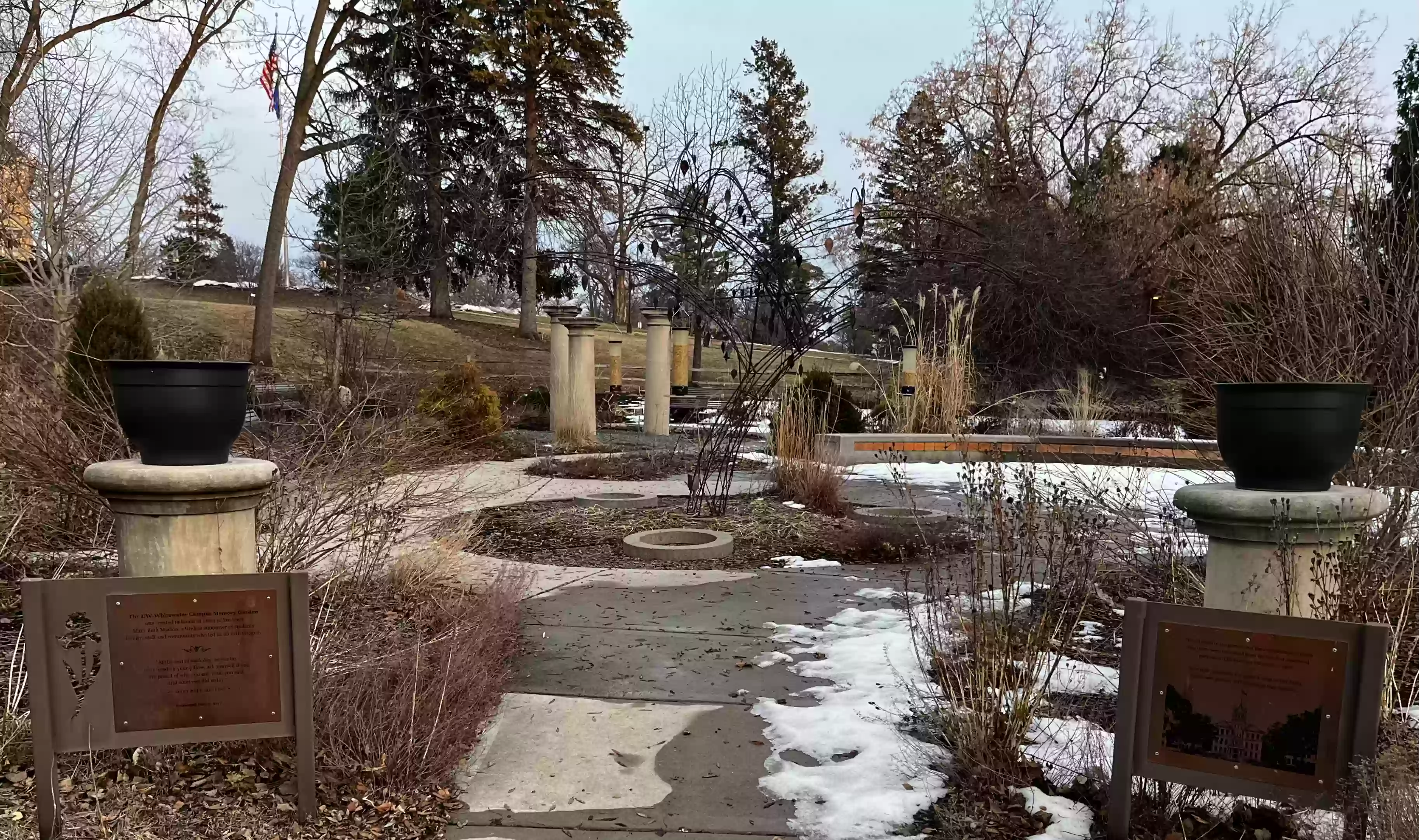
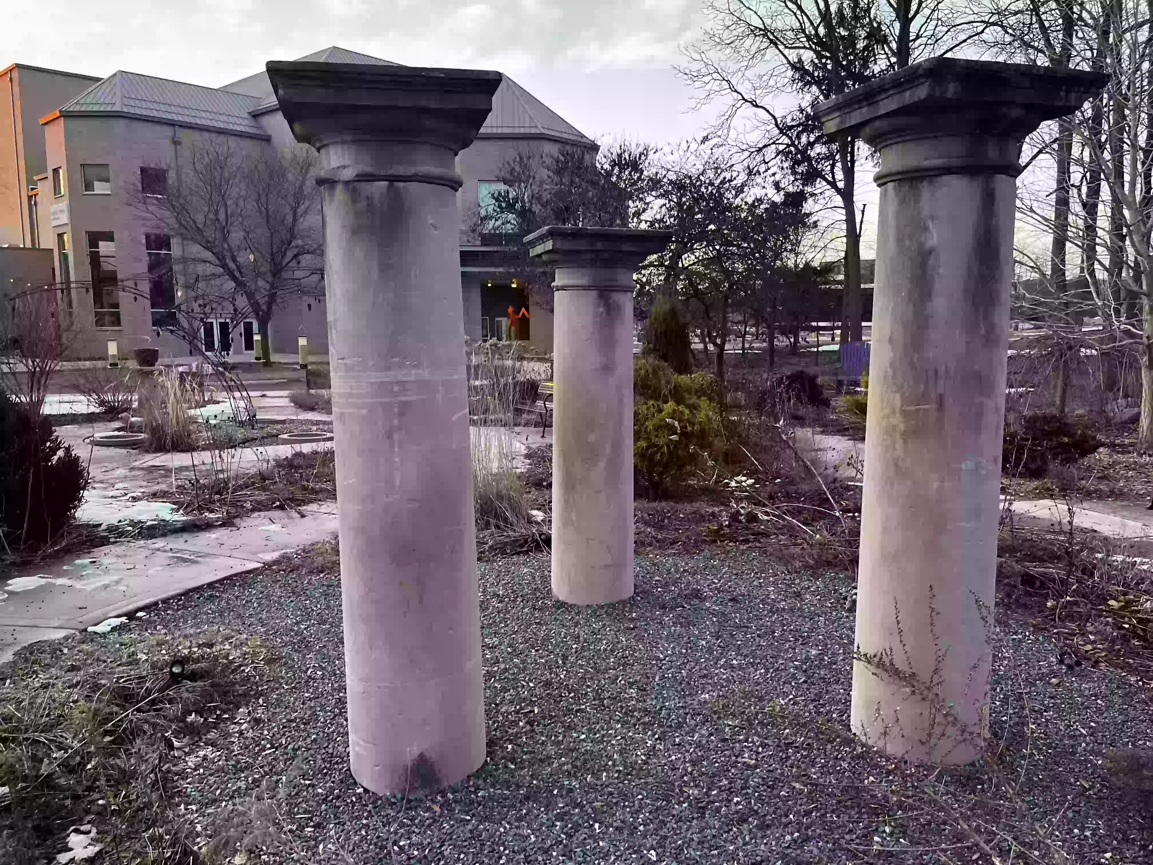
48. Follow the path east to the UW-Whitewater Campus Memory
Garden in honor of Mary Beth Mackin.
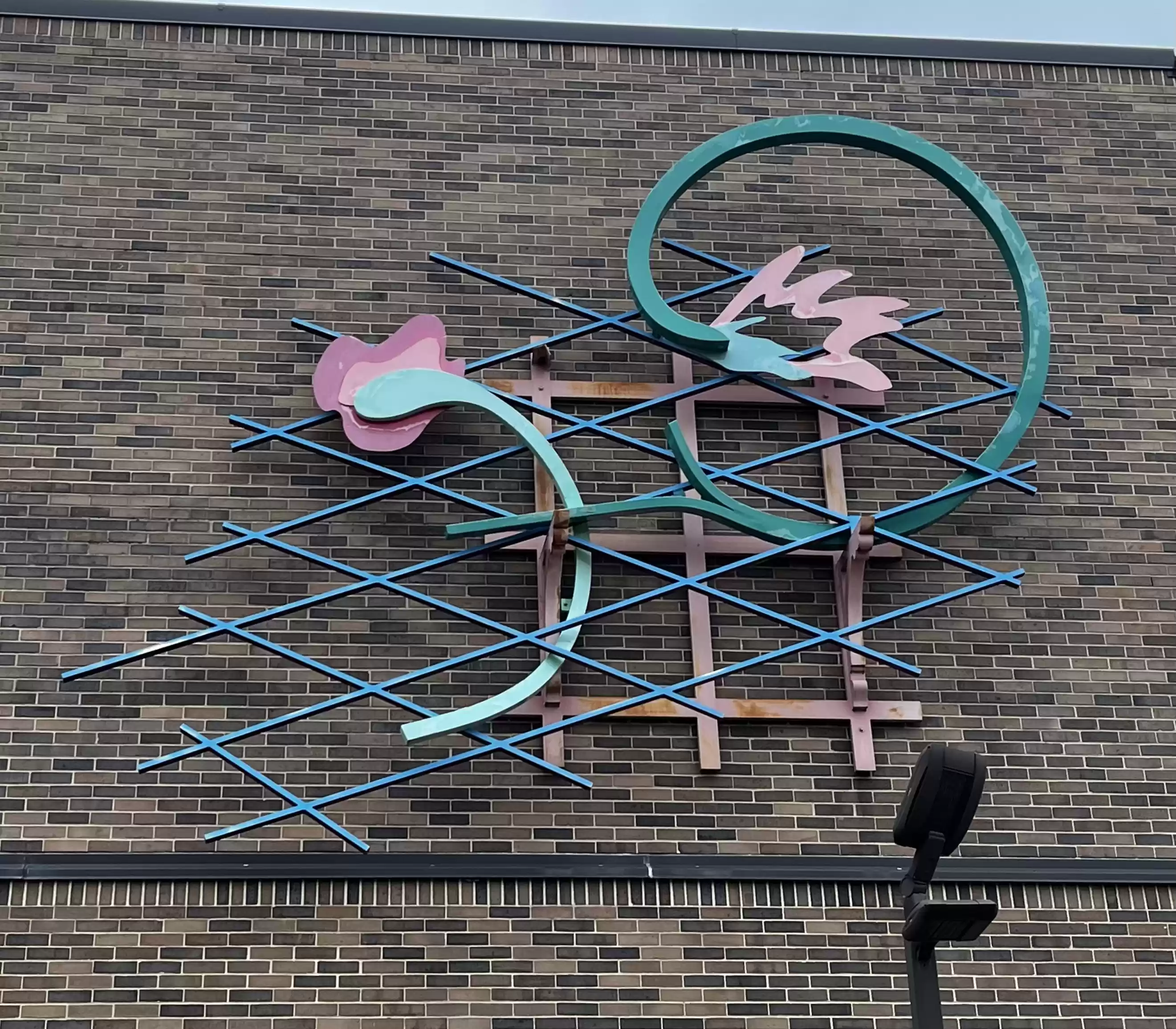
49. From the garden, go west toward Prince St. along the Main St. Side of the Greenhill Center for the Arts where a wall sculpture is located (Main and Prince).
At the building's entry is "Skyworld's Reach" by Gloria Cornelius (2025) UWW BFA representation of the Haudenosaunee Creation Story.
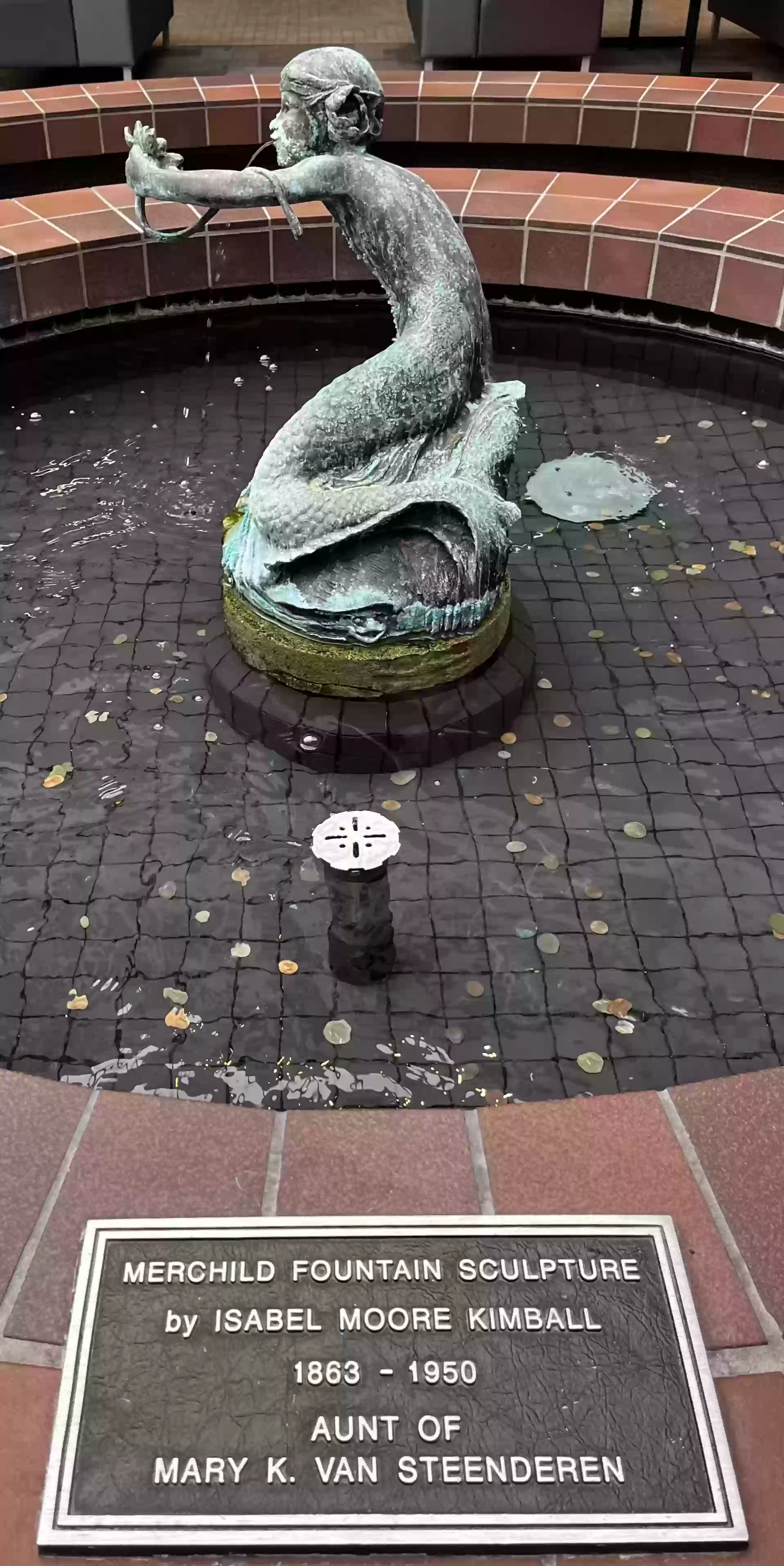
Inside the Greeenhill Center is the Crossman Gallery and the Merchild Fountain by Isabel Moore Kimball.
50. Return east and take the path to the Chopp and Salisbury Arboretums.

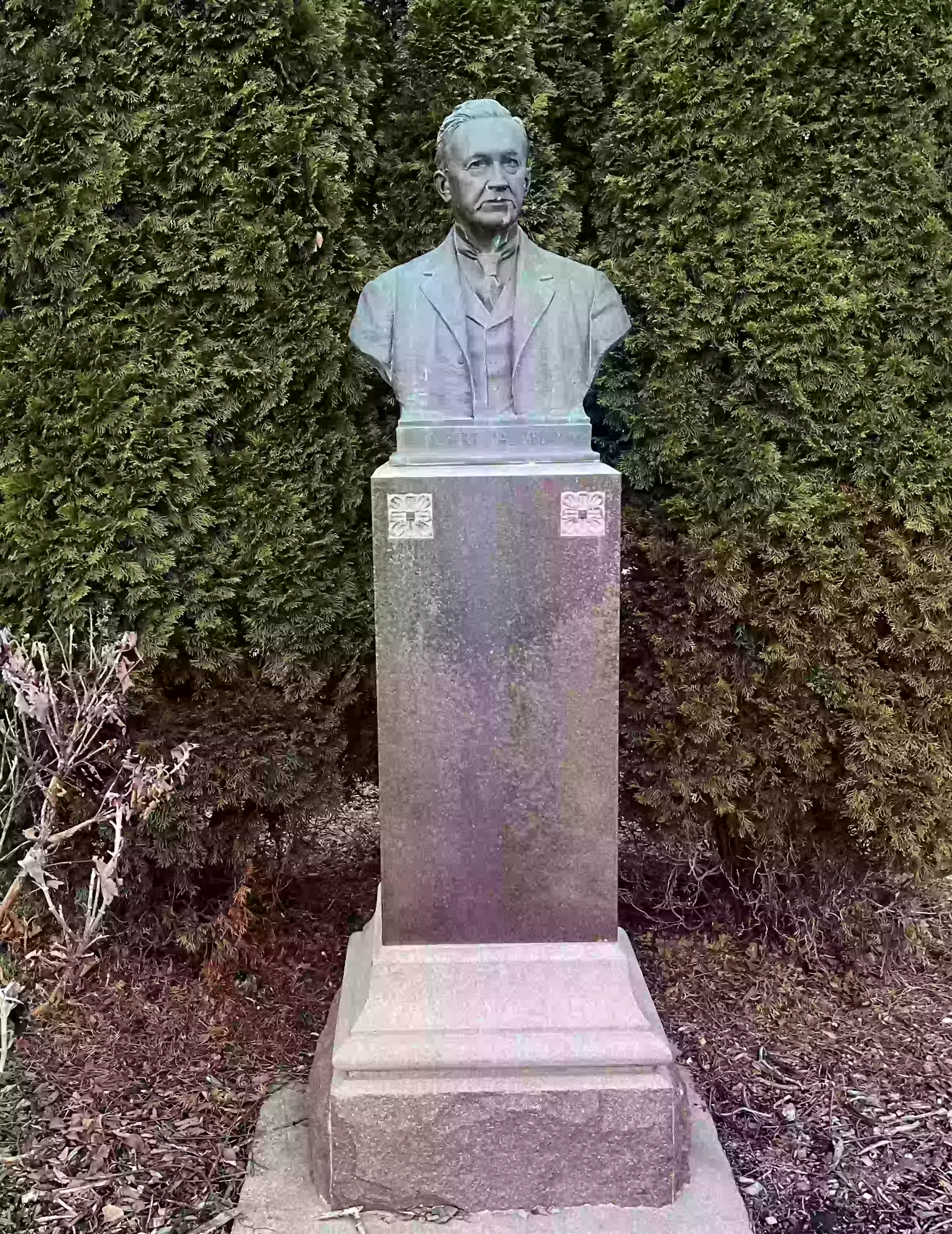
51. At the drive to the Alumni Center there is a bust of Albert
Salisbury (1885-1911).
Related item: the Salisbury Idea Tree Tour
52. Follow the walkway south to W Main St and then head east past the Telfer Tree and toward Andersen Library.
53. Take the path by the University of Wisconsin - Whitewater sign north towards the University Center to the Sundial. (Class of 1968)
[Alternate path: Continue along W Main St east to Basset House (Item 55)]

54. Continue on the path to the right (east) of the south side of the University Center to a memorial plaza.

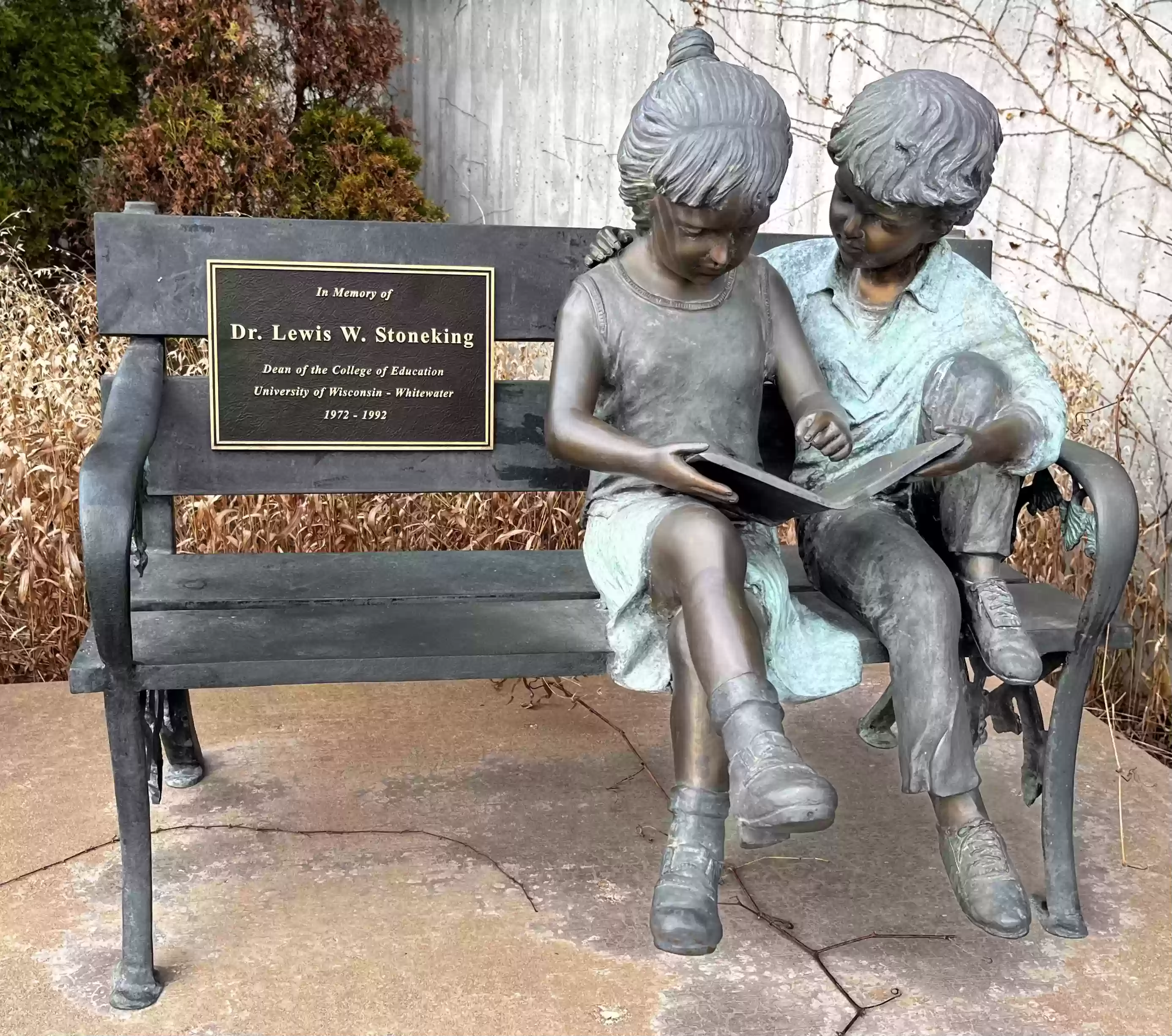
54b. From the plaza, proceed on the paths north-east past the UC and Roseman to the steps of Winther Hall. At the base of the stairs is a bench with two children dedicated to Dr. Stoneking. (1992)
54c. Head south along Prairie St. toward Main. At the entrance to Heide Hall is "Don Quixote" by Francis Coelho, (1966)
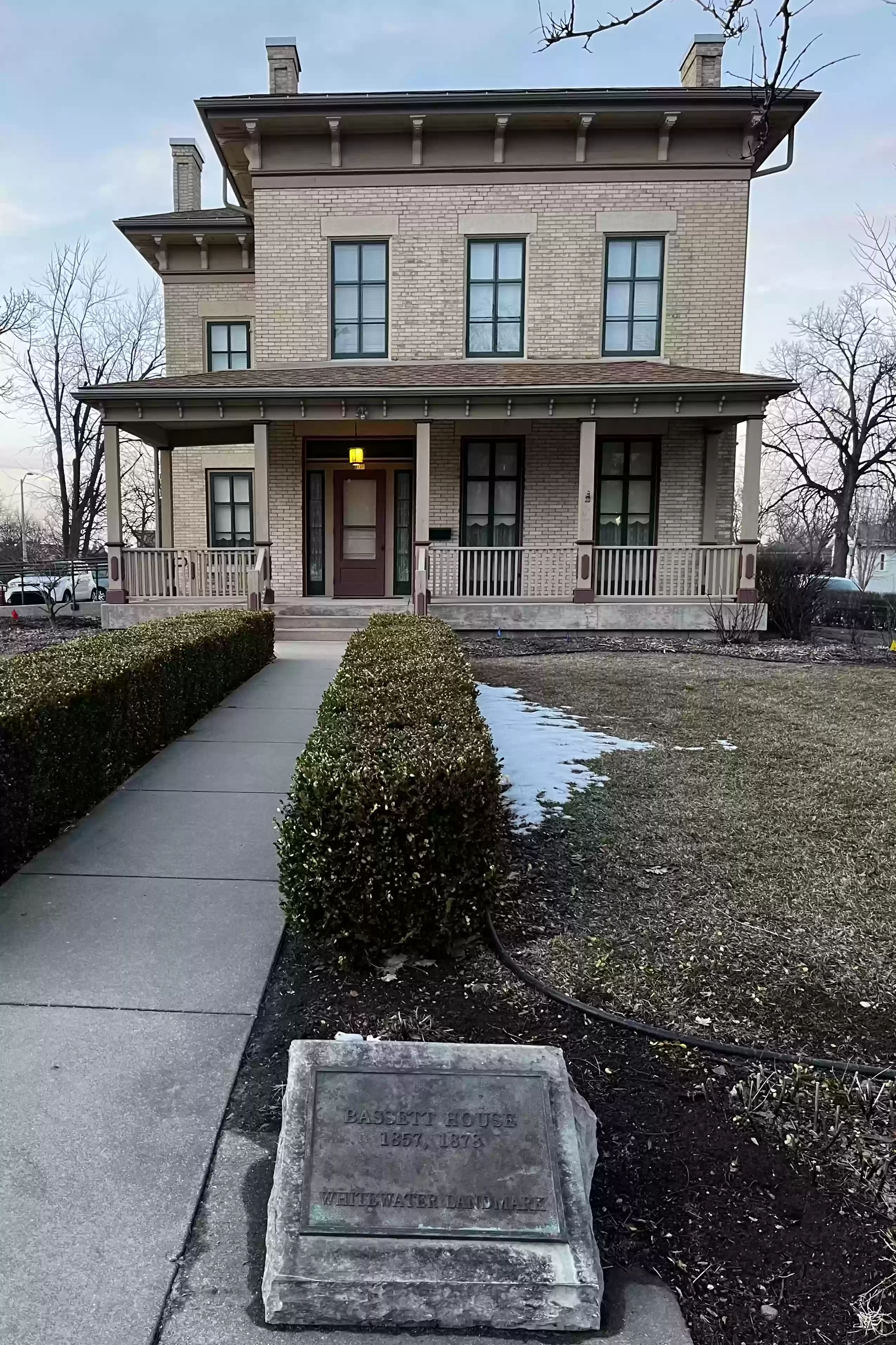
55. Continue south on Prairie St to the Basset House
(1857) at the corner of N Prairie and W Main St.

Related Video: Landmark Trek 8: The Basset House by James Olm. An educational, mini-documentary on the history of Whitewater, Wisconsin from its past to the present.
End of University of Wisconsin - Whitewater Loop
56. Corner of N Prairie and W Main. Proceed east along W Main St. passing several historic landmark houses along the way.
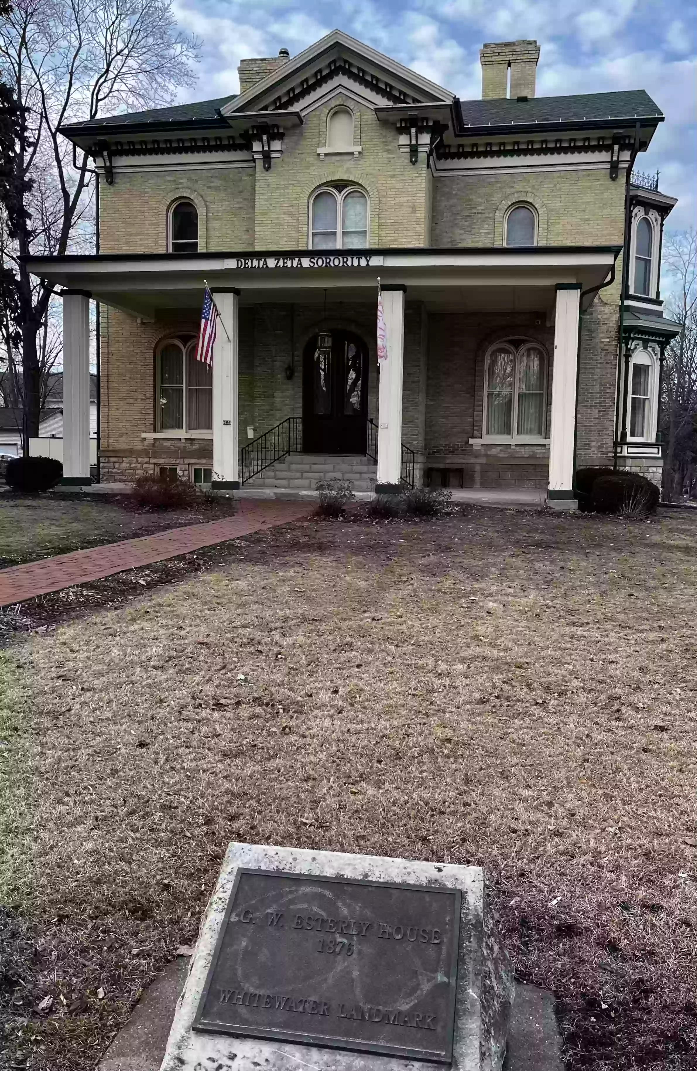
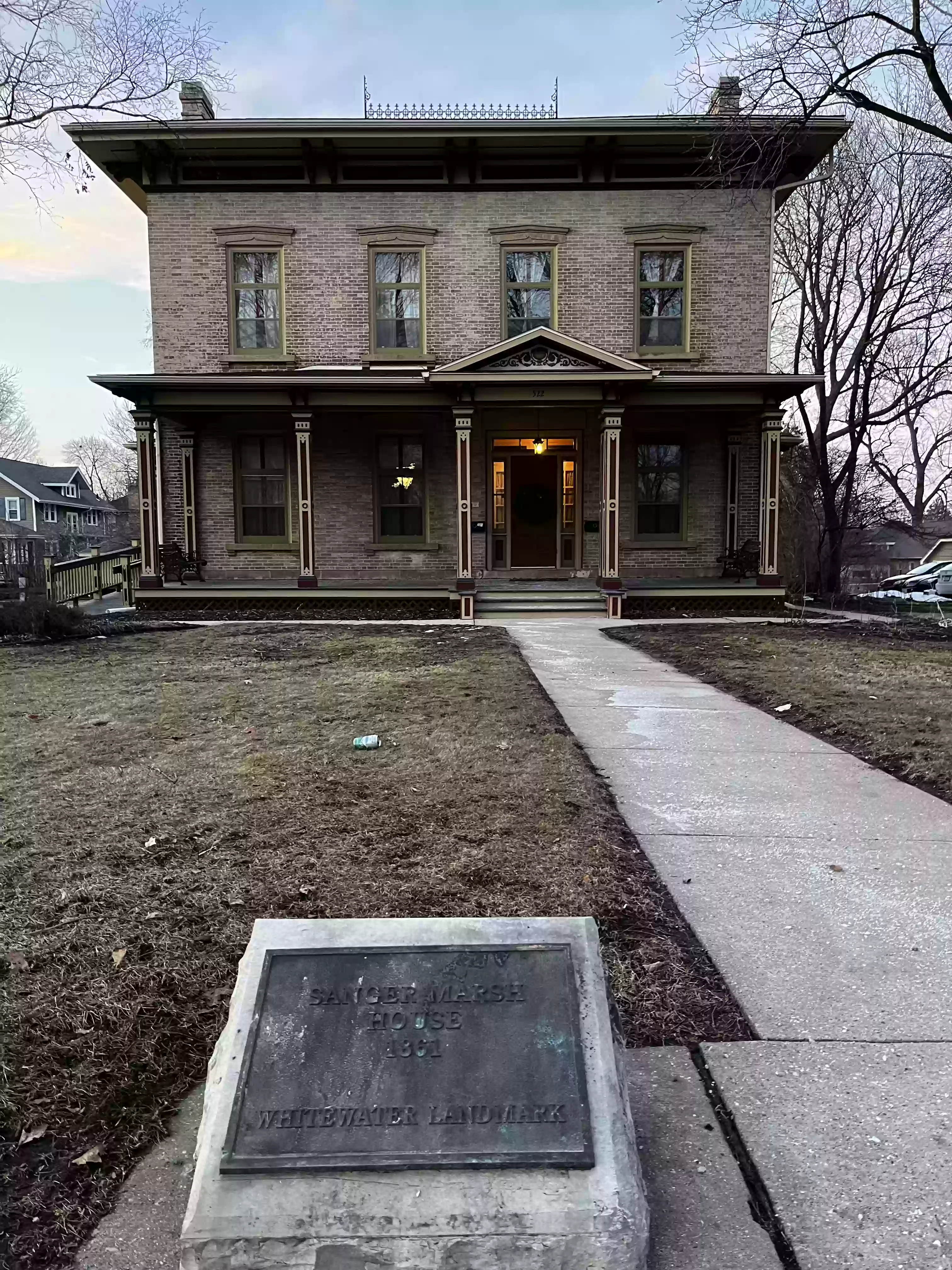
57. Head east on W Main, pass by the Engebretsen-Dorr House (1895), the Esterly House (1876) and the Sanger Marsh House (1861)
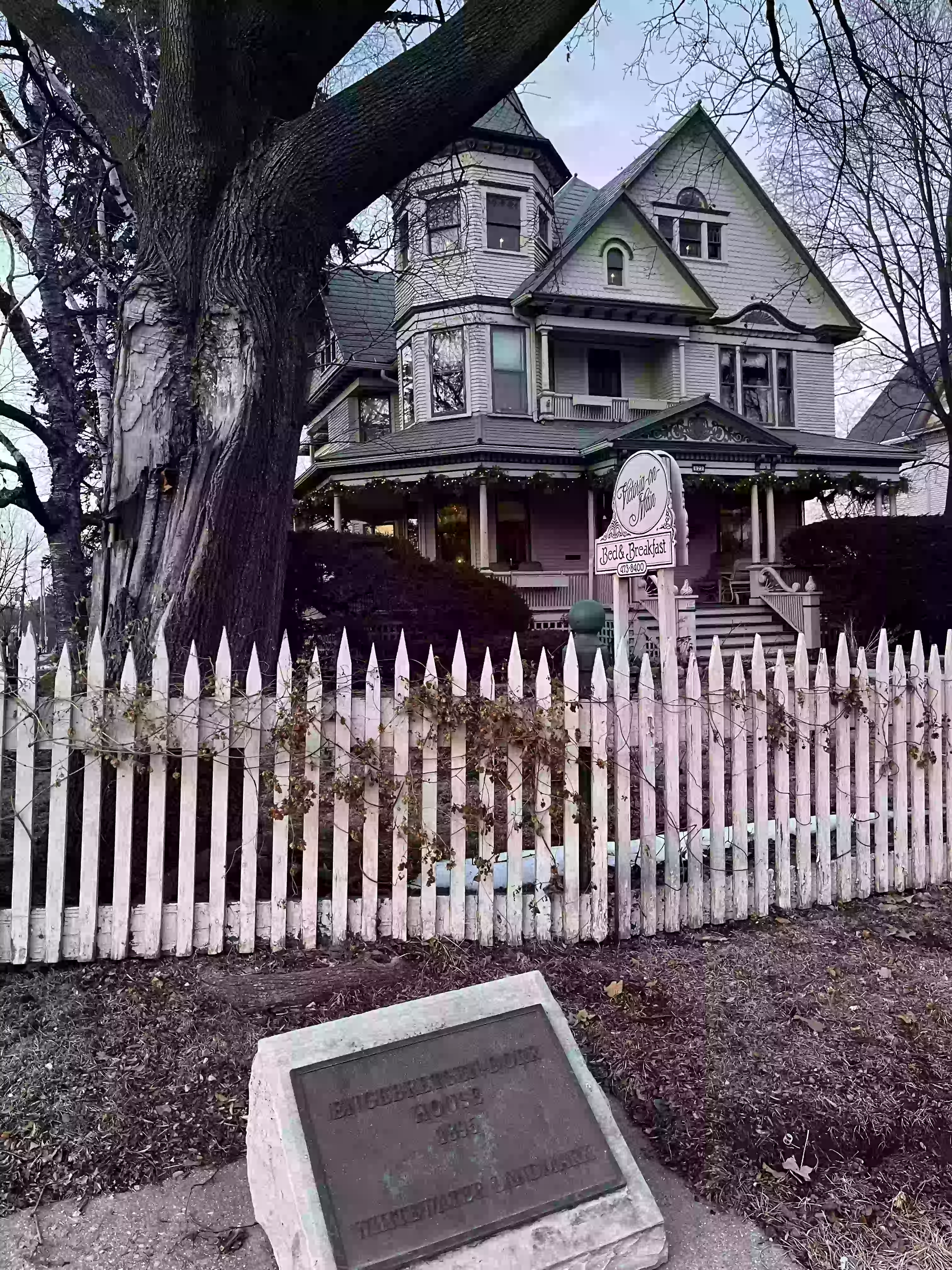
Related Video: Landmark Trek 6: Victoria on Main by James Olm. An educational, mini-documentary on the history of Whitewater, Wisconsin from its past to the present.
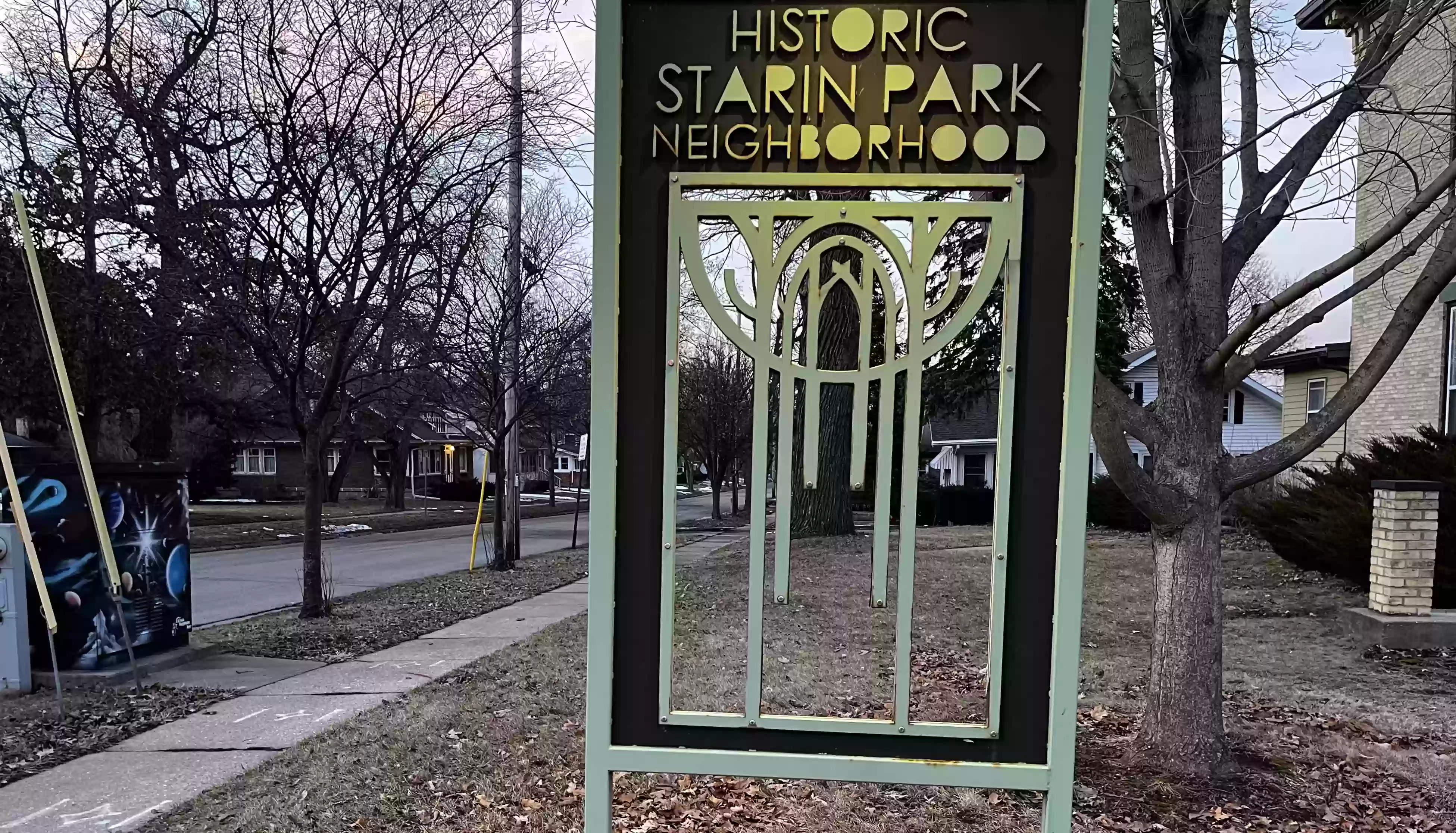
58. Cross N Franklin St. to the Historic Starin Park
Neighborhood sign.
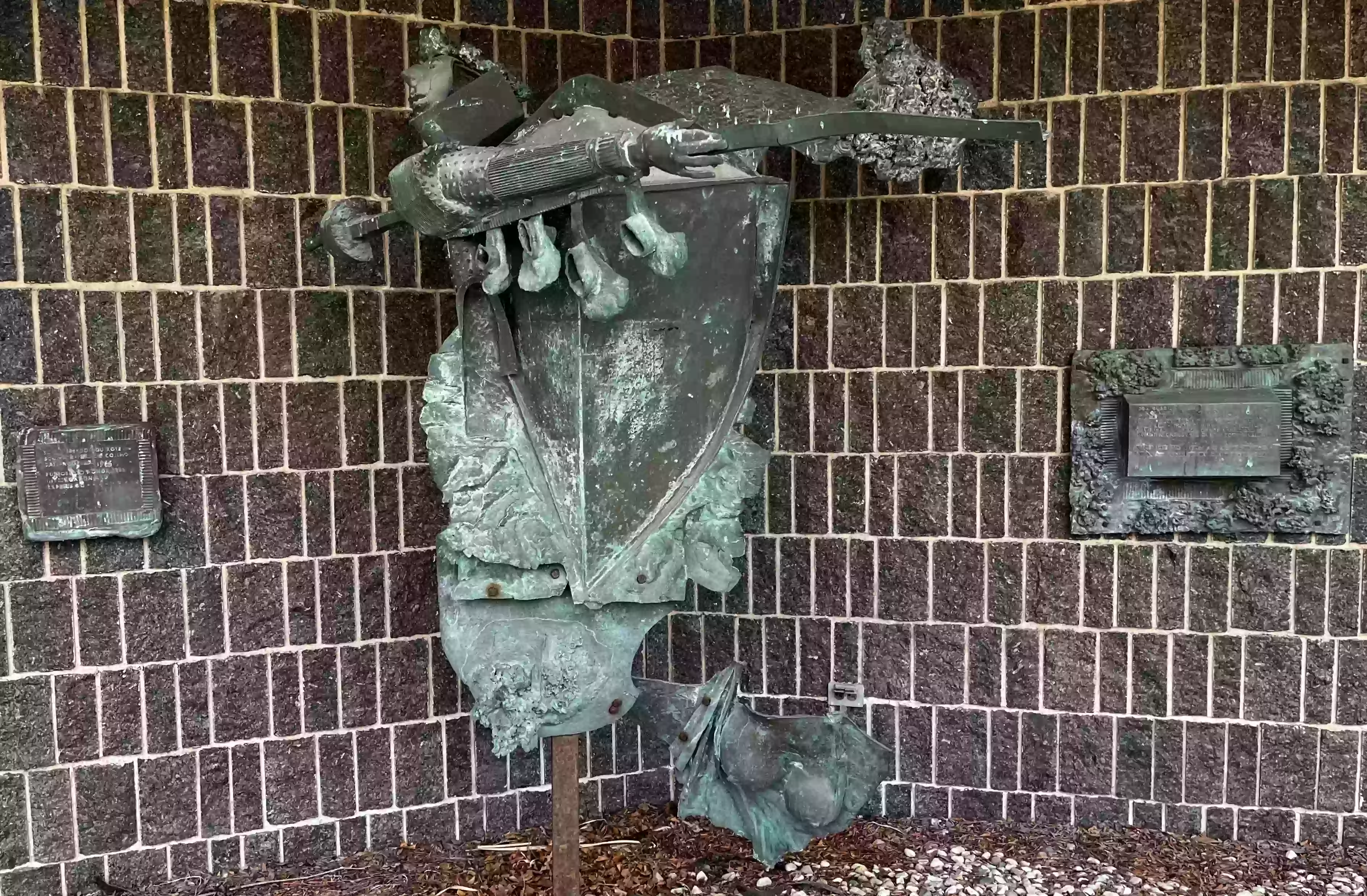
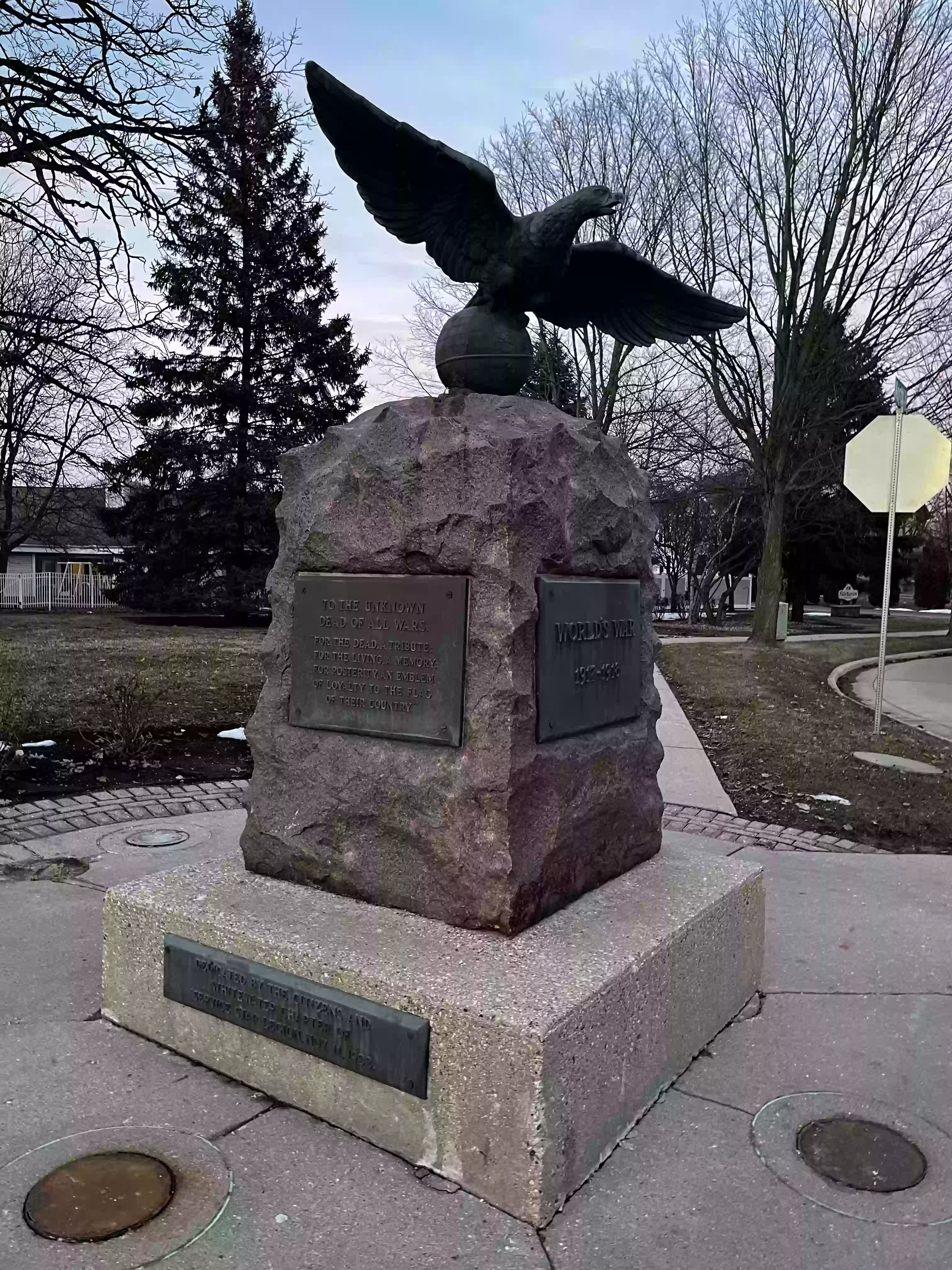
59. Continue east on W Main to the World’s War memorial. (1922)
60. Whitewater Information Stand
61. The Birge Fountain (1903)
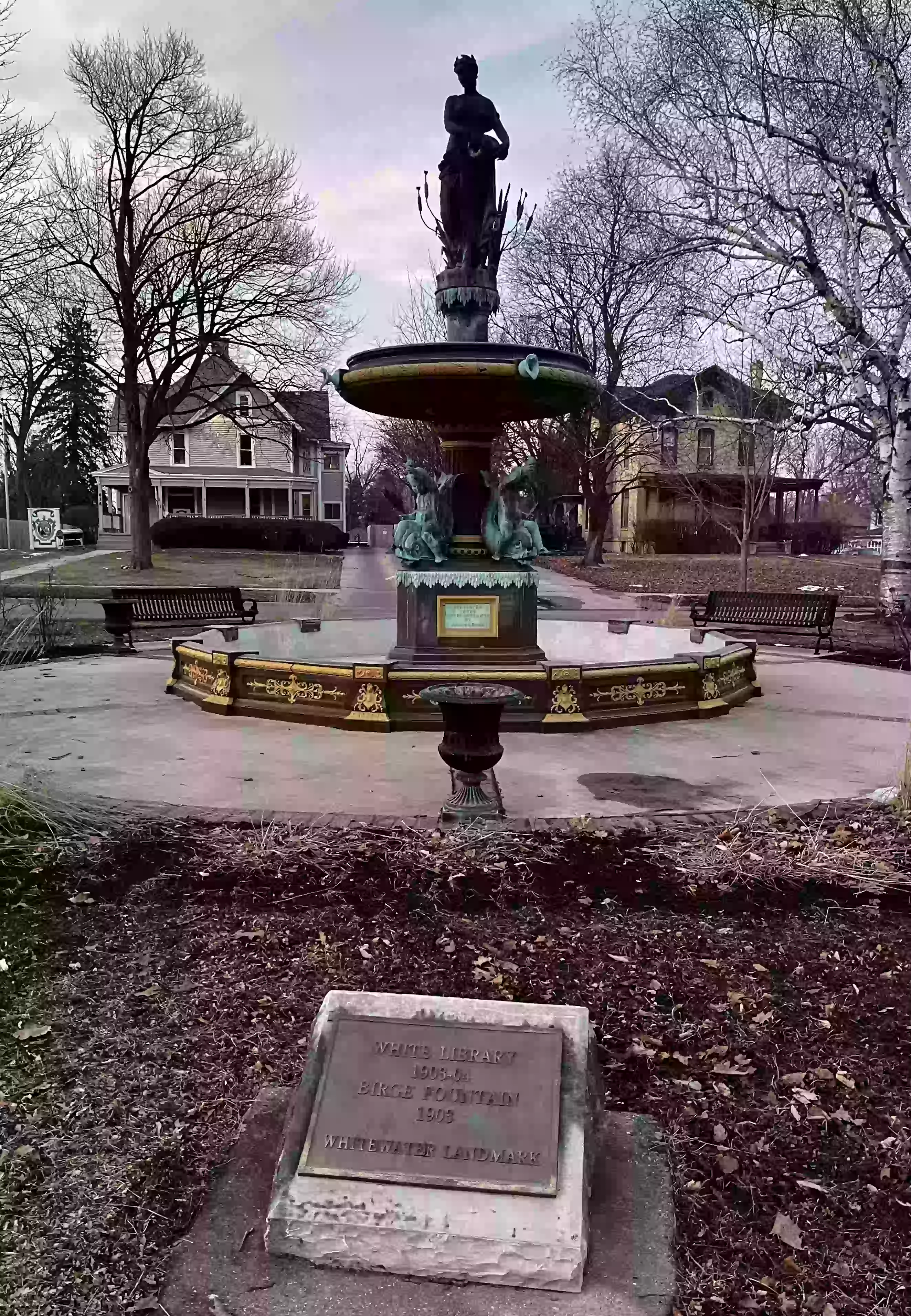
Related Video: Landmark Trek 2: The Birge Fountain by James Olm. An educational, mini-documentary on the history of the Birge Fountain in Whitewater, Wisconsin from its past to the present.
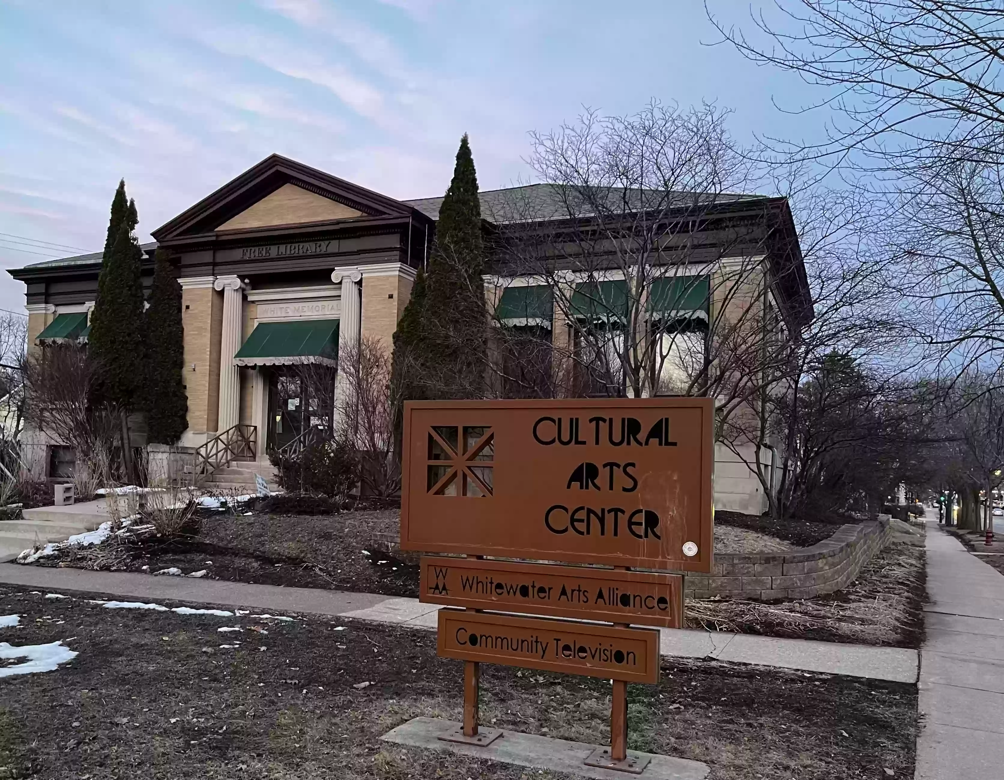
62. Whitewater Cultural Arts Center located in the White Library

Related Video: Landmark Trek 7: The White Memorial Libary by James Olm. An educational, mini-documentary on the history of the White Memorial Library in Whitewater, Wisconsin from its past to the present.
The Whitewater Public Library is two blocks to the south of this location at the corner of S Church and W Center streets.
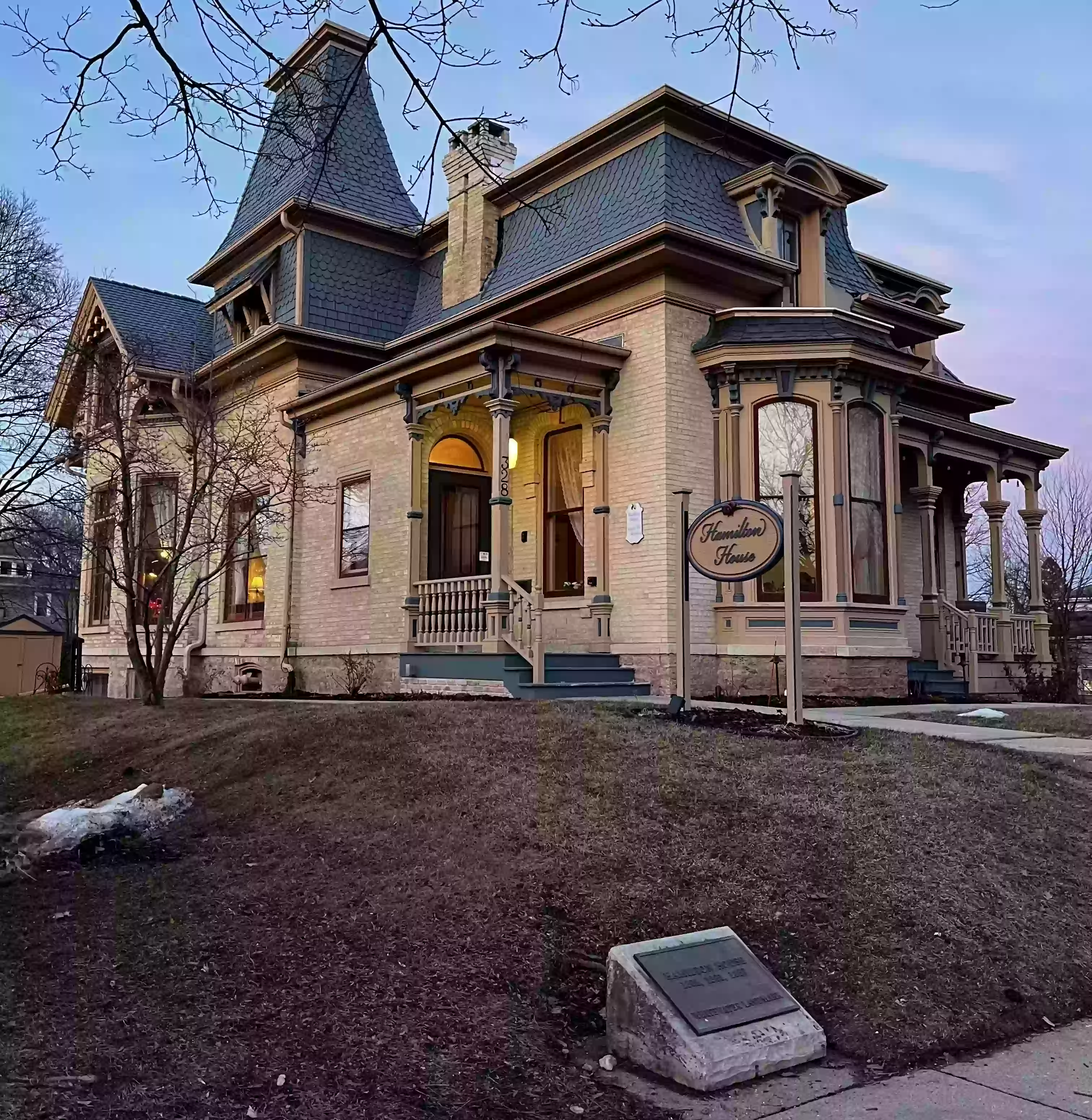
63. Hamilton House (1887)
64. Cross N Fremont St. at the light. Continue east along W Main St.
65. Half a block north from the corner of W Main and N First (on First, towards the old armory) is a large Shopping Bag sculpture. Continue east along W Main St.
66. (Cross Main at the light if on N side and) Turn at W Whitewater St. to return to the Prairie Tillers mural and the starting location.

67. Congratulations! You have completed the Whitewater Sculpture Walk! I hope that you discovered some interesting sights of Whitewater.
Additional Links
 City of Whitewater, WI
 University of Wisconsin - Whitewater
 Discover Whitewater Org Whitewater Toursim Council
 Whitewater Arts Alliance
 Whitewater Banner Local News and Events
- 2026 Whitewater Walking Loops Brochure and Map (NEW) (pdf)
- 2016 Whitewater Walking Loops Brochure and Map (old) (pdf)
- Touring Historical Whitewater: A Guide to Whitewater Homes, Schools, Parks, and Cemeteries. (pdf)
- University of Wisconsin - Whitewater Self-Guided Tour Brochure and Map (pdf)
- Whitewater Historic Landmarks Guide (pdf)
- Whitewater Public Art Project
- Whitewater Area Art Exhibits
- Whitewater Landmarks Commission
- Whitewater Landmarks YouTube Channel
- Whitewater Walking tours
- 3D OPAL: 3D printable Objects for Physics Accessible Learning
- HTML5 Physics Simulators
- Augmented Reality Objects
- Virtual Lab for Neutron Activation and Radioactive Decay
Whitewater Organizations
Additional Whitewater Guides
More Whitewater Information
Additional Items by Steven Sahyun
 Sculpture Walk
 Traffic Box Art Walk
 Lamppost Art Walk
Share this Sculpture Walk Tour

Scan to open this tour on a mobile device.